St. Michael's Cemetery, Toronto
Map
Gallery
Facts and practical information
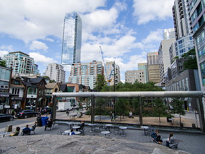
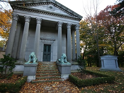
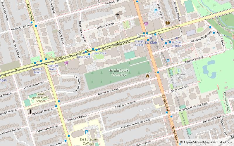
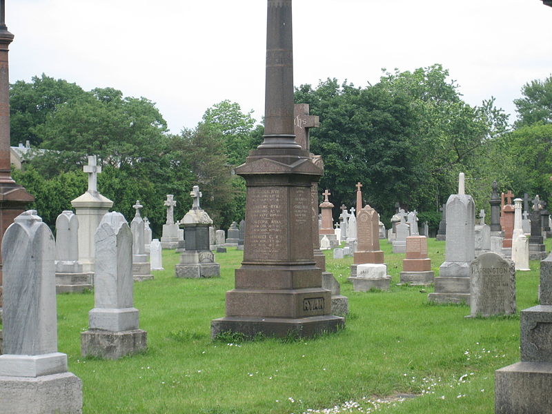
St. Michael's Cemetery is a Roman Catholic cemetery in Toronto, Ontario, Canada. It is located just southwest of Yonge Street and St. Clair Avenue. The 10-acre cemetery is invisible from the street, being located in the middle of a city block and ringed by homes and stores. It is accessible only through a small alleyway between two stores on Yonge Street. The gates to the cemetery are also usually kept locked. ()
Established: 1855 (171 years ago)Graves: 29 thous.Coordinates: 43°41'10"N, 79°23'46"W
Day trips
St. Michael's Cemetery – popular in the area (distance from the attraction)
Nearby attractions include: Casa Loma, Spadina House, Yorkville Village, David A. Balfour Park.
Frequently Asked Questions (FAQ)
Which popular attractions are close to St. Michael's Cemetery?
Nearby attractions include Imperial Oil Building, Toronto (5 min walk), Deer Park United Church, Toronto (6 min walk), Calvin Presbyterian Church, Toronto (6 min walk), Hollywood Theatre, Toronto (7 min walk).
How to get to St. Michael's Cemetery by public transport?
The nearest stations to St. Michael's Cemetery:
Tram
Metro
Bus
Tram
- Deer Park • Lines: 512 (4 min walk)
- Yonge Street • Lines: 512 (4 min walk)
Metro
- St. Clair • Lines: 1 (5 min walk)
- Summerhill • Lines: 1 (11 min walk)
Bus
- St. Clair (6 min walk)
- Lonsdale Road • Lines: 13A, 13B (12 min walk)

 Subway
 Streetcar system
 PATH
PATH

