Little Norway Park, Toronto
Map
Map

Facts and practical information
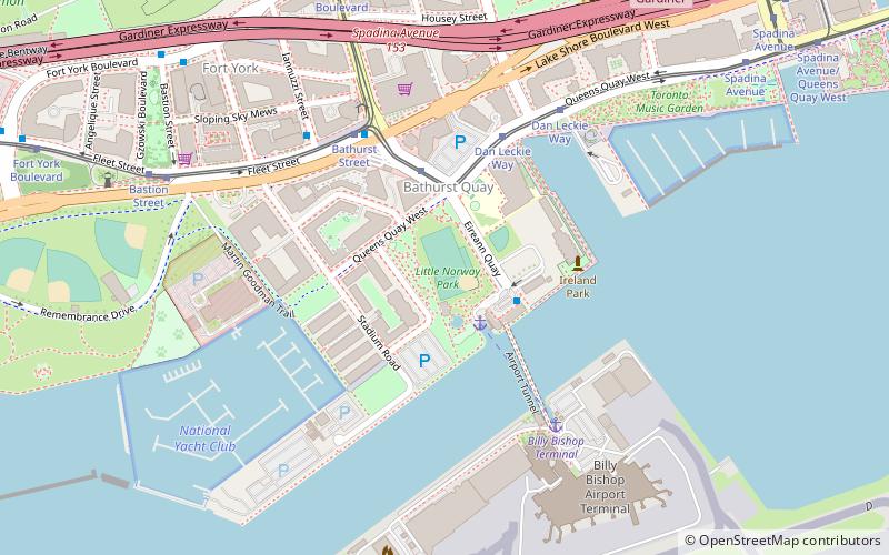
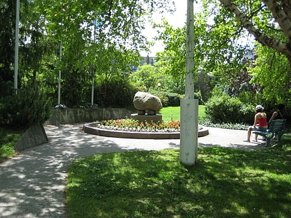
Little Norway Park is a small park in the Harbourfront area of Toronto, Ontario, Canada, at the southwest corner of Bathurst Street and Queens Quay West. The park is just north of the Western Channel into Toronto Harbour. It was opened in 1986. ()
Created: 1986Elevation: 249 ft a.s.l.Coordinates: 43°38'4"N, 79°23'54"W
Day trips
Little Norway Park – popular in the area (distance from the attraction)
Nearby attractions include: CN Tower, Rogers Centre, The Power Plant, Martin Goodman Trail.
Frequently Asked Questions (FAQ)
Which popular attractions are close to Little Norway Park?
Nearby attractions include Ireland Park, Toronto (4 min walk), Martin Goodman Trail, Toronto (8 min walk), Canoe Landing Park, Toronto (9 min walk), Fort York, Toronto (9 min walk).
How to get to Little Norway Park by public transport?
The nearest stations to Little Norway Park:
Ferry
Tram
Bus
Train
Metro
Ferry
- Bathurst Street Terminal • Lines: Billy Bishop Airport Ferry (2 min walk)
- Billy Bishop Terminal • Lines: Billy Bishop Airport Ferry (5 min walk)
Tram
- Bathurst Street, Billy Bishop Airport • Lines: 509 (3 min walk)
- Queens Quay West, Billy Bishop Airport • Lines: 509 (3 min walk)
Bus
- Fleet Street • Lines: 363 (14 min walk)
- Canniff Street • Lines: 363, 63 (22 min walk)
Train
- Exhibition (27 min walk)
- Toronto Union Station (29 min walk)
Metro
- St. Andrew • Lines: 1 (30 min walk)
- Union • Lines: 1 (31 min walk)
 Subway
 Streetcar system
 PATH
PATH