North Burnaby, Burnaby

Gallery (2)
Map
Map
Gallery
Facts and practical information
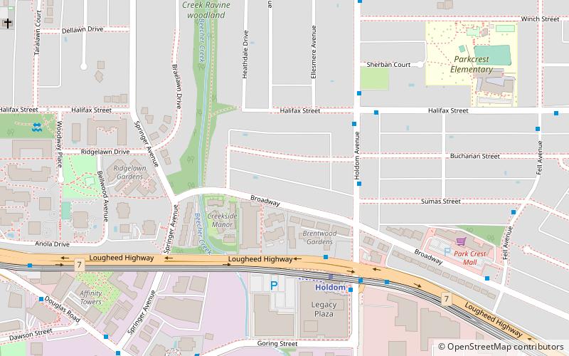
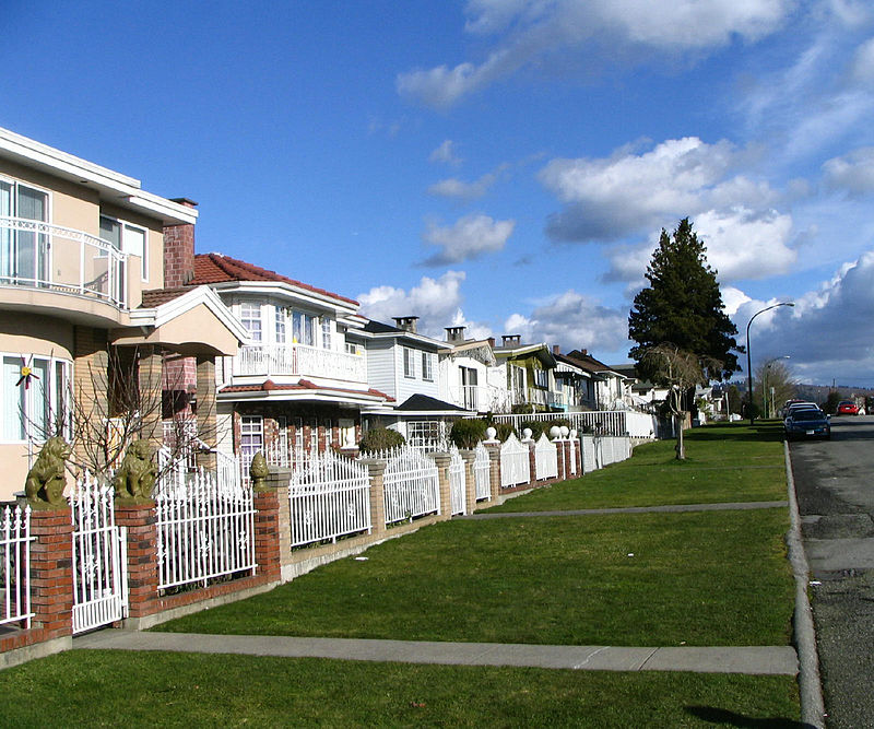
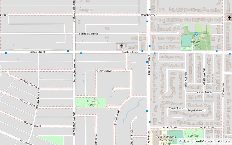
North Burnaby is a general name for a large neighbourhood in the City of Burnaby, British Columbia, that includes a number of smaller ones. It stretches from Boundary Road in the west to Burnaby Mountain with Simon Fraser University in the east and bounded by Burrard Inlet to the north and the Lougheed Highway to the south. It is a desirable place to live for many local and immigrant families which is reflected by real-estate prices that keep climbing and have doubled in the last 15 years. ()
Coordinates: 49°15'60"N, 122°58'60"W
Address
Parkcrest-AubreyBurnaby
ContactAdd
Social media
Add
Getting there by public transportation
Public transportation stops near this location
- Metro
- Bus
 Metro
Metro
- Calculate routeHoldom Ave at Sumas St 3 min walk
- Calculate routeHoldom Ave at Halifax St 4 min walk
- Calculate routeHalifax St at Holdom Ave 4 min walk
- Calculate routeHoldom Ave at Lougheed Hwy 5 min walk
- Calculate routeHoldom 4 min walk
- Calculate routeBrentwood Town Centre 22 min walk
- Calculate routeSperling–Burnaby Lake 26 min walk
Day trips


Frequently Asked Questions (FAQ)
Which popular attractions are close to North Burnaby?
Nearby attractions include Parkcrest, Burnaby (12 min walk), Sullivan Heights, Burnaby (19 min walk), Kensington Park, Burnaby (21 min walk).
How to get to North Burnaby by public transport?
The nearest stations to North Burnaby:
Bus
Metro
Bus
- Holdom Ave at Sumas St • Lines: 129, 136 (3 min walk)
- Holdom Ave at Halifax St • Lines: 129 (4 min walk)
Metro
- Holdom • Lines: Millennium Line (4 min walk)
- Brentwood Town Centre • Lines: Millennium Line (22 min walk)