Quayside, Toronto
Map

Map

Facts and practical information
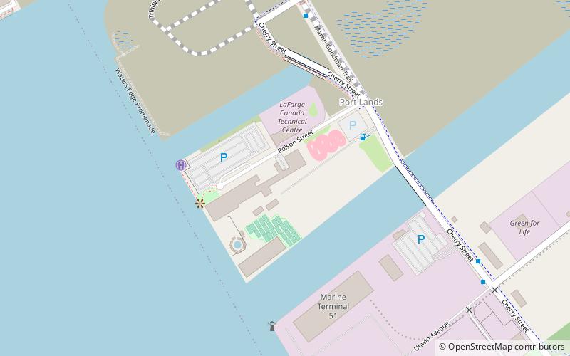
Quayside is a waterfront district slated for redevelopment in Toronto, Ontario, Canada. Formerly dockland and industrial uses, The Waterfront Toronto government agency intends for a new housing development to be built between the East Bayfront and Port Lands neighbourhoods, a site of 4.9 hectares of land. A smart city project was in the planning stages, proposed by Sidewalk Labs, a subsidiary of Alphabet Inc. named Sidewalk Toronto. Alphabet announced the cancellation of the project on May 7, 2020. Development of the site is now on hold. ()
Coordinates: 43°38'49"N, 79°21'42"W
Day trips
Quayside – popular in the area (distance from the attraction)
Nearby attractions include: Rebel, Air Canada Centre, St. Lawrence Market, Meridian Hall.
Frequently Asked Questions (FAQ)
Which popular attractions are close to Quayside?
Nearby attractions include East Bayfront, Toronto (5 min walk), Parliament Square Park, Toronto (6 min walk), Sherbourne Common, Toronto (6 min walk), Theatre Museum Canada, Toronto (7 min walk).
How to get to Quayside by public transport?
The nearest stations to Quayside:
Bus
Tram
Metro
Ferry
Train
Bus
- Lake Shore Boulevard East • Lines: 75 (6 min walk)
- The Esplanade • Lines: 121, 65 (7 min walk)
Tram
- Mill Street, Distillery Loop • Lines: 504A (10 min walk)
- Ontario Street • Lines: 503, 504A, 504B (11 min walk)
Metro
- King • Lines: 1 (21 min walk)
- Union • Lines: 1 (24 min walk)
Ferry
- Jack Layton Ferry Terminal • Lines: Toronto Island Ferry, Ward's Island (21 min walk)
- Ward's Island • Lines: Ward's Island (28 min walk)
Train
- Toronto Union Station (25 min walk)

 Subway
 Streetcar system
 PATH
PATH
