Humber Bay Arch Bridge, Toronto
Map
Gallery
Facts and practical information
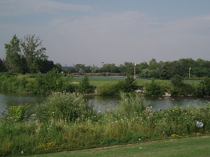
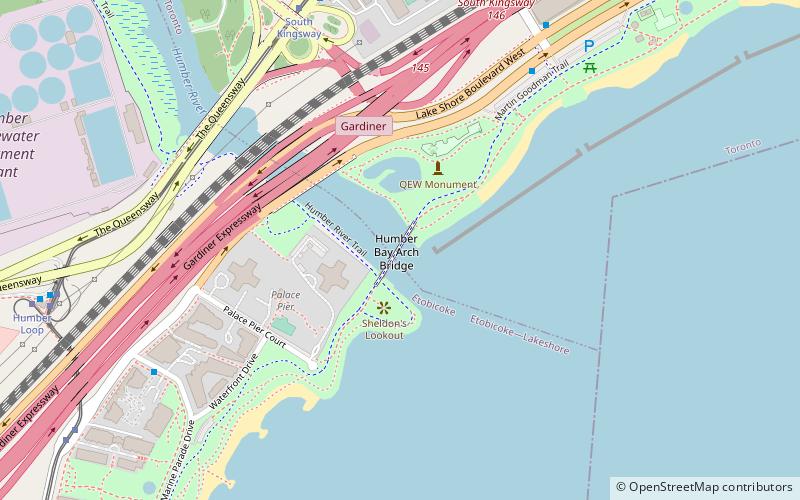
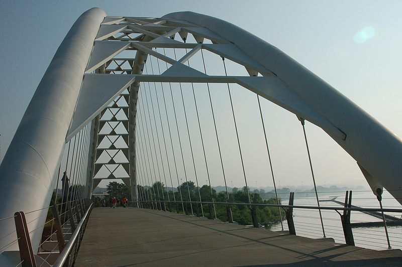
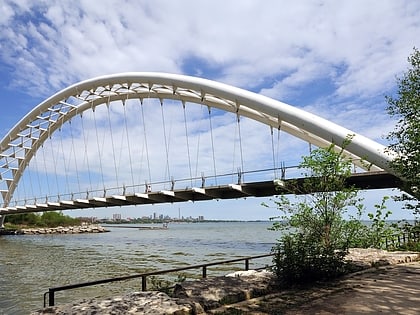
The Humber Bay Arch Bridge is a pedestrian and bicycle through arch bridge south of Lake Shore Boulevard West in Toronto, Ontario, Canada. Completed in the mid-1990s, the bridge is part of the Martin Goodman Trail and is 139 metres in length, with a clear span of 100 metres over the mouth of the Humber River to protect the environmental integrity of the waterway. ()
Completed: 1994 (32 years ago)Length: 427 ftHeight: 70 ftCoordinates: 43°37'55"N, 79°28'16"W
Address
Lakeshore Boulevard West at the Humber bayToronto
ContactAdd
Social media
Add
Day trips
Humber Bay Arch Bridge – popular in the area (distance from the attraction)
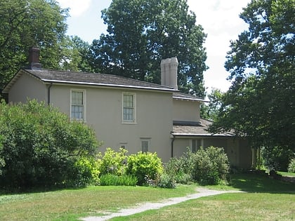
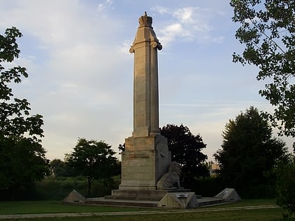
Nearby attractions include: High Park, Colborne Lodge, Humber Bay Park, Queen Elizabeth Way Monument.
Frequently Asked Questions (FAQ)
Which popular attractions are close to Humber Bay Arch Bridge?
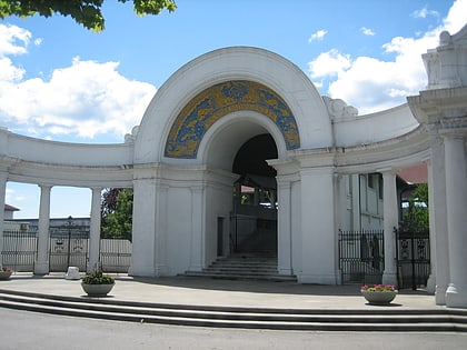
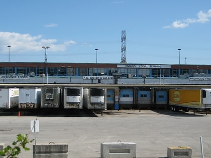
Nearby attractions include The Palace Pier, Toronto (2 min walk), Queen Elizabeth Way Monument, Toronto (3 min walk), The Queensway–Humber Bay, Toronto (17 min walk), Ontario Food Terminal, Toronto (19 min walk).
How to get to Humber Bay Arch Bridge by public transport?
The nearest stations to Humber Bay Arch Bridge:
Bus
Tram
Bus
- South Kingsway • Lines: 80A (8 min walk)
- Windermere Avenue • Lines: 80A (11 min walk)
Tram
- South Kingsway • Lines: 501, 501;301 (8 min walk)
- Windermere Avenue • Lines: 501, 501;301 (10 min walk)
 Subway
 Streetcar system
 PATH
PATH
