Queen Elizabeth Way Monument, Toronto
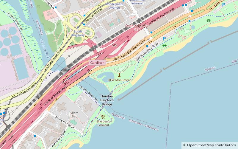
Map
Gallery
Facts and practical information
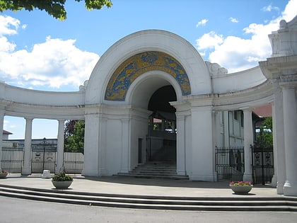
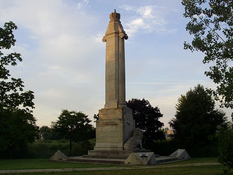
The Queen Elizabeth Way Monument, also known as the Lion Monument and as the Loring Lion, is an Art Deco monument located in Toronto, Ontario, Canada. The 1939–1940 monument honouring Queen Elizabeth was built as a decorative marker monument for the Toronto entrance to the Queen Elizabeth Way highway. ()
Coordinates: 43°37'60"N, 79°28'13"W
Address
West End (Swansea)Toronto
ContactAdd
Social media
Add
Day trips
Queen Elizabeth Way Monument – popular in the area (distance from the attraction)
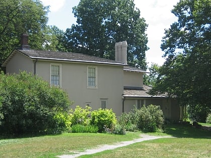
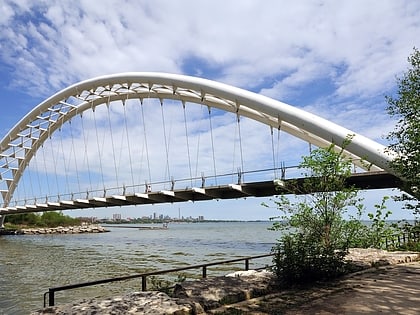
Nearby attractions include: High Park, Colborne Lodge, Humber Bay Park, Humber Bay Arch Bridge.
Frequently Asked Questions (FAQ)
Which popular attractions are close to Queen Elizabeth Way Monument?
Nearby attractions include Humber Bay Arch Bridge, Toronto (3 min walk), The Palace Pier, Toronto (5 min walk), The Queensway–Humber Bay, Toronto (19 min walk), Colborne Lodge, Toronto (19 min walk).
How to get to Queen Elizabeth Way Monument by public transport?
The nearest stations to Queen Elizabeth Way Monument:
Bus
Tram
Metro
Bus
- South Kingsway • Lines: 80A (6 min walk)
- Windermere Avenue • Lines: 80A (8 min walk)
Tram
- South Kingsway • Lines: 501, 501;301 (6 min walk)
- Windermere Avenue • Lines: 501, 501;301 (8 min walk)
Metro
- Jane • Lines: 2 (35 min walk)
 Subway
 Streetcar system
 PATH
PATH
