First Chinatown, Toronto

Map
Facts and practical information
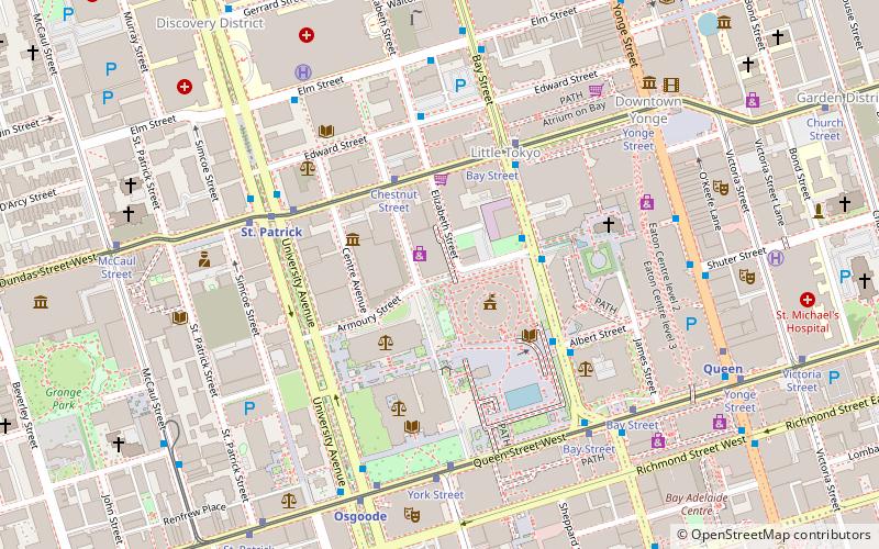
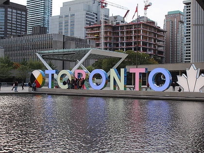
First Chinatown is a retronym for a former neighbourhood in Toronto, an area that once served as the city's Chinatown. The city's original Chinatown existed from the 1890s to the 1970s, along York Street and Elizabeth Street between Queen and Dundas Streets within St. John's Ward. However, more than two thirds of it was expropriated and razed starting in the late 1950s to build the new Toronto City Hall and its civic square, Nathan Phillips Square. ()
Coordinates: 43°39'14"N, 79°23'6"W
Address
Downtown Toronto (Bay Street Corridor)Toronto
ContactAdd
Social media
Add
Day trips
First Chinatown – popular in the area (distance from the attraction)
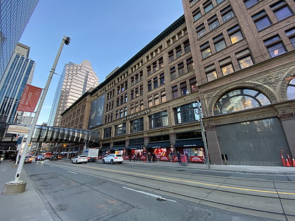
Nearby attractions include: CF Toronto Eaton Centre, Atrium on Bay, Old City Hall, Hudson's Bay.
Frequently Asked Questions (FAQ)
Which popular attractions are close to First Chinatown?
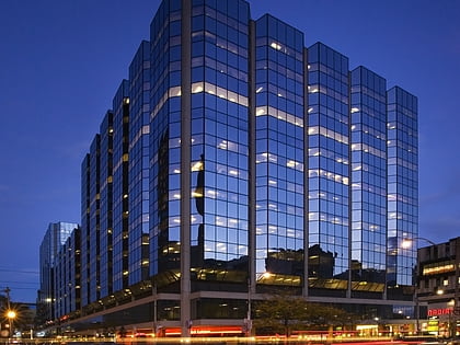
Nearby attractions include Chinatowns in Toronto, Toronto (1 min walk), Chestnut Residence, Toronto (1 min walk), Toronto Courthouse, Toronto (3 min walk), Textile Museum of Canada, Toronto (3 min walk).
How to get to First Chinatown by public transport?
The nearest stations to First Chinatown:
Bus
Tram
Metro
Train
Ferry
Bus
- Hagerman Street • Lines: 19 (3 min walk)
- Dundas Street West • Lines: 19 (4 min walk)
Tram
- Chestnut Street • Lines: 505 (3 min walk)
- Bay Street • Lines: 505 (4 min walk)
Metro
- St. Patrick • Lines: 1 (5 min walk)
- Osgoode • Lines: 1 (7 min walk)
Train
- Toronto Union Station (18 min walk)
Ferry
- Jack Layton Ferry Terminal • Lines: Toronto Island Ferry, Ward's Island (28 min walk)
 Subway
 Streetcar system
 PATH
PATH


