Allenby, Toronto
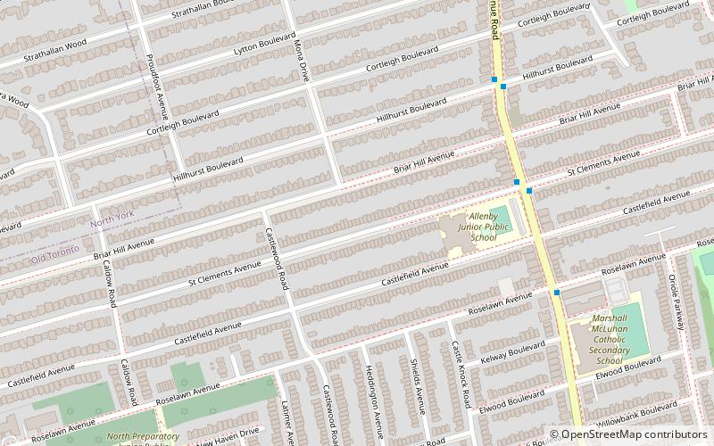
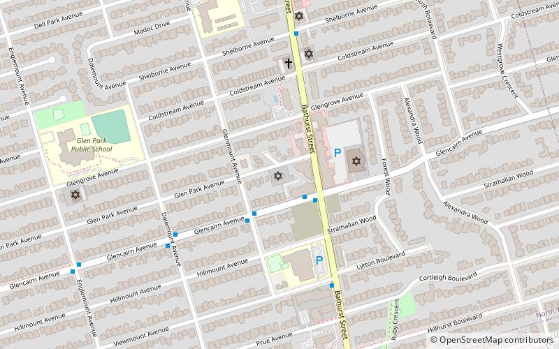
Map
Facts and practical information
Allenby is a neighbourhood of Toronto, Ontario, Canada. It is a primarily residential neighbourhood within the boundaries of Latimer Avenue to the west, Briar Hill Avenue to the north, Avenue Road to the east and Eglinton Avenue West to the south. ()
Coordinates: 43°42'35"N, 79°24'54"W
Address
Uptown (Allenby)Toronto
ContactAdd
Social media
Add
Getting there by public transportation
Public transportation stops near this location
- Metro
- Bus
 Metro
Metro
- Calculate routeEglinton Avenue West 21 min walk
- Calculate routeEglinton 23 min walk
- Calculate route2190 Yonge St 24 min walk
- Calculate routeEglinton 23 min walk
- Calculate routeDavisville 31 min walk
- Calculate routeLawrence 34 min walk
Maps SubwayMaps
 Streetcar systemMaps
 PATH
PATH
SubwayMapsStreetcar systemMapsPATHDay trips


Frequently Asked Questions (FAQ)
Which popular attractions are close to Allenby?
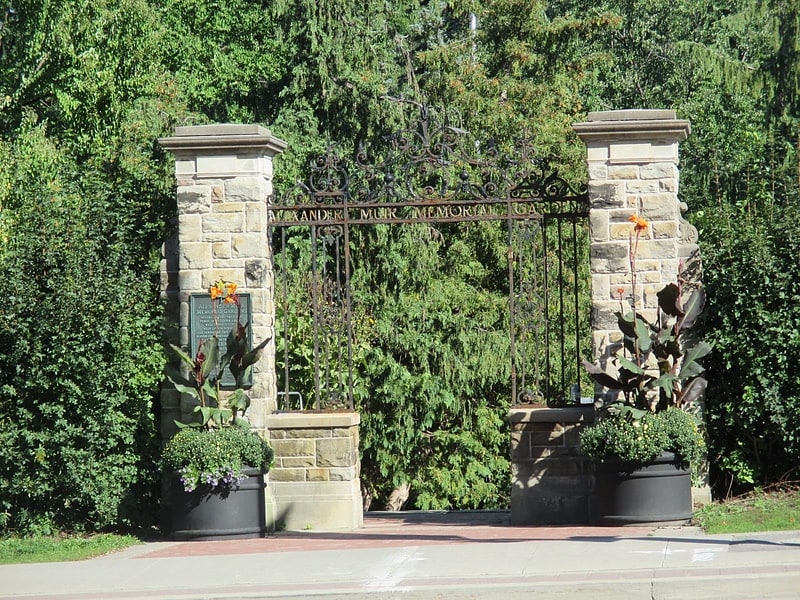
Nearby attractions include Roselawn Avenue Cemetery, Toronto (7 min walk), St. James-Bond Church, Toronto (10 min walk), Eglinton Park, Toronto (14 min walk), Lytton Park, Toronto (17 min walk).
How to get to Allenby by public transport?
The nearest stations to Allenby:
Bus
Metro
Bus
- Eglinton Avenue West • Lines: 51, 54A, 54B (21 min walk)
- Eglinton (23 min walk)
Metro
- Eglinton • Lines: 1 (23 min walk)
- Davisville • Lines: 1 (31 min walk)