Old Eastern Avenue Bridge, Toronto
Map
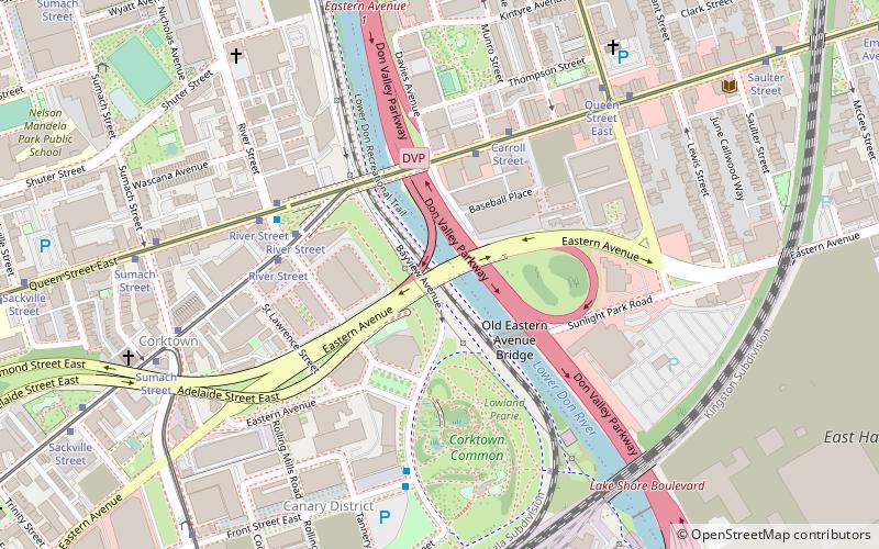
Map

Facts and practical information
The Old Eastern Avenue Bridge consists of two bridges spanning the Don River in Toronto, Ontario, Canada. The north bridge or Gas Line Bridge is a concrete arch bridge built for Consumer's Gas Company and is used by Enbridge Gas to carry a major gas main. The southern Howe truss bridge, similar to Queen Street Viaduct and Sir Isaac Brock Bridge, previously carried traffic on Eastern Avenue but is currently unused. ()
Length: 148 ftWidth: 62 ftCoordinates: 43°39'23"N, 79°21'12"W
Address
Downtown Toronto (Corktown)Toronto
ContactAdd
Social media
Add
Day trips
Old Eastern Avenue Bridge – popular in the area (distance from the attraction)
Nearby attractions include: De Grassi Street, Polson Pier, St. Paul's Basilica, True Love Cafe.
Frequently Asked Questions (FAQ)
Which popular attractions are close to Old Eastern Avenue Bridge?
Nearby attractions include Underpass Park, Toronto (3 min walk), West Don Lands, Toronto (3 min walk), Queen Street Viaduct, Toronto (3 min walk), Corktown Common, Toronto (6 min walk).
How to get to Old Eastern Avenue Bridge by public transport?
The nearest stations to Old Eastern Avenue Bridge:
Tram
Bus
Metro
Ferry
Tram
- Carroll Street • Lines: 501, 501;301, 504B (4 min walk)
- River Street • Lines: 501, 501;301, 504B (5 min walk)
Bus
- King Street East • Lines: 121 (5 min walk)
- Queen Street East • Lines: 121 (5 min walk)
Metro
- Castle Frank • Lines: 2 (37 min walk)
- Sherbourne • Lines: 2 (41 min walk)
Ferry
- Jack Layton Ferry Terminal • Lines: Toronto Island Ferry, Ward's Island (41 min walk)

 Subway
 Streetcar system
 PATH
PATH
