East Chinatown, Toronto
Map
Gallery

Facts and practical information
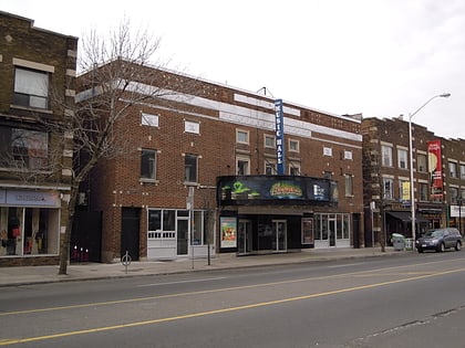
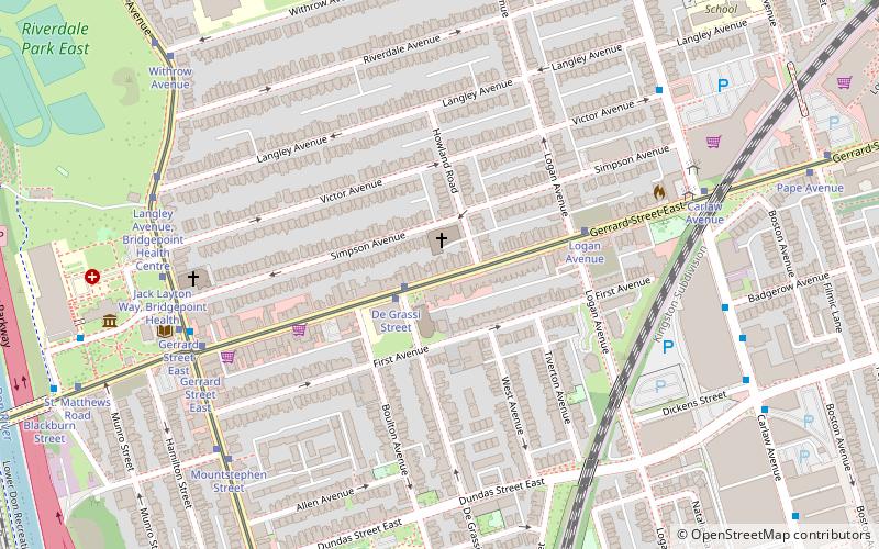
East Chinatown is a Chinese neighbourhood located in the city of Toronto's east end in Riverdale and one of the several Chinatowns in Toronto. It was formed during the early 1970s and is centred on Gerrard Street East between Broadview Avenue and Carlaw Avenue. ()
Coordinates: 43°39'60"N, 79°20'52"W
Address
East End (Riverdale)Toronto
ContactAdd
Social media
Add
Day trips
East Chinatown – popular in the area (distance from the attraction)
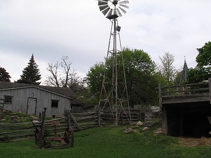
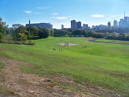
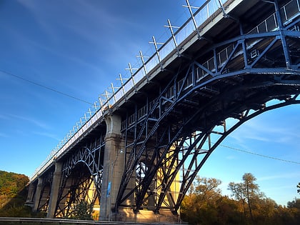
Nearby attractions include: Riverdale Farm, De Grassi Street, Riverdale Park East, Prince Edward Viaduct.
Frequently Asked Questions (FAQ)
Which popular attractions are close to East Chinatown?
Nearby attractions include Metropolitan Community Church of Toronto, Toronto (1 min walk), De Grassi Street, Toronto (7 min walk), Riverdale, Toronto (7 min walk), Don Jail, Toronto (8 min walk).
How to get to East Chinatown by public transport?
The nearest stations to East Chinatown:
Tram
Bus
Metro
Tram
- De Grassi Street • Lines: 306, 506 (2 min walk)
- Logan Avenue • Lines: 306, 506 (4 min walk)
Bus
- Broadview Avenue • Lines: 121 (7 min walk)
- St. Matthews Road • Lines: 121 (10 min walk)
Metro
- Chester • Lines: 2 (22 min walk)
- Broadview • Lines: 2 (23 min walk)

 Subway
 Streetcar system
 PATH
PATH