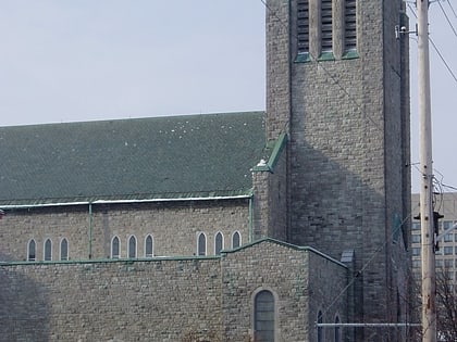
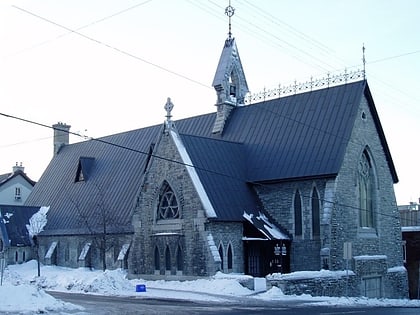
St. Clement Parish, Ottawa
Map
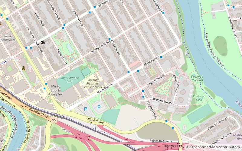
Map

Facts and practical information
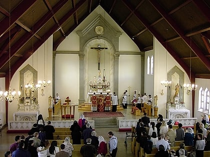
St. Clement Parish is a bilingual Roman Catholic parish community located in Ottawa, Ontario, Canada and entrusted to the Priestly Fraternity of Saint Peter. After the replacement of the liturgical norms of the 1962 Roman Missal by the post-Vatican II Mass in the 1960s, St. Clement Parish was the first community in the world to be authorized to celebrate the Mass and other sacraments in Latin only, according to the older liturgical norms. Since June 3, 2012, St. Clement Parish operates out of Ste-Anne Church in Lowertown. ()
Coordinates: 45°25'15"N, 75°40'24"W
Day trips
St. Clement Parish – popular in the area (distance from the attraction)
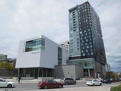
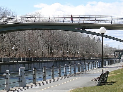
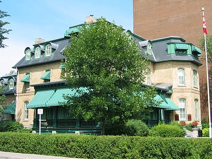
Nearby attractions include: Ottawa Art Gallery, Adàwe Crossing, Corktown Footbridge, Laurier House.
Frequently Asked Questions (FAQ)
Which popular attractions are close to St. Clement Parish?
Nearby attractions include Lees Avenue, Ottawa (5 min walk), Dutchy's Hole Park, Ottawa (7 min walk), Iskcon Ottawa, Ottawa (8 min walk), Adàwe Crossing, Ottawa (11 min walk).
How to get to St. Clement Parish by public transport?
The nearest stations to St. Clement Parish:
Bus
Light rail
Train
Bus
- Chapel / Mann • Lines: 16 (1 min walk)
- Mann / Chapel • Lines: 16 (2 min walk)
Light rail
- Lees O-Train West/Ouest • Lines: 1 (9 min walk)
- UOttawa O-Train East/Est • Lines: 1 (12 min walk)
Train
- Ottawa (28 min walk)
