Østerfælled Torv, Copenhagen
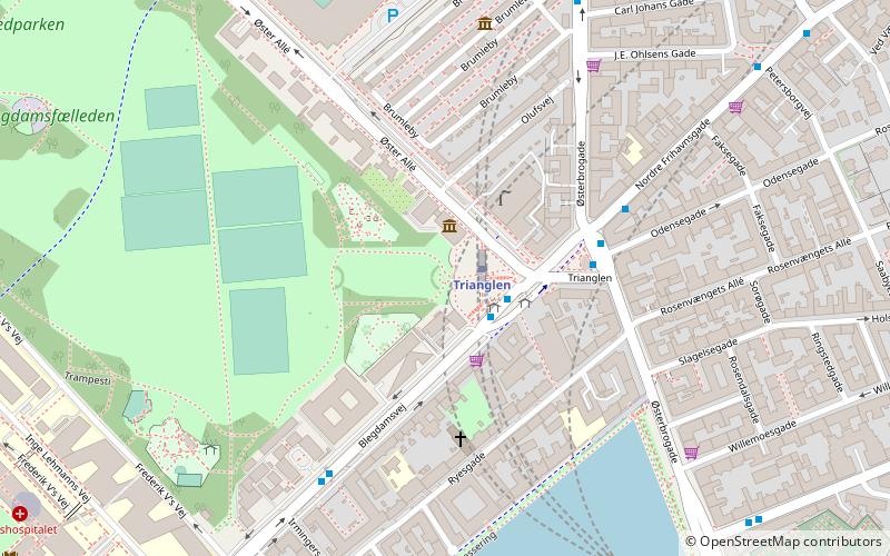
Map

Gallery

Facts and practical information
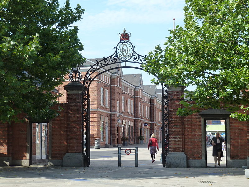
Østerfælled Torv is a mixed-use development surrounding a public space by the same name in the former grounds of Østerfælled Barracks in the Østerbro district of Copenhagen, Denmark. It is a result of a redevelopment of the site in the 1990s which preserved many of the old buildings, now used for retail and commercial space as well as cultural facilities, combining them with new apartment buildings. ()
Coordinates: 55°42'21"N, 12°34'34"E
Address
Østerbros (Kanslergades)Copenhagen
ContactAdd
Social media
Add
Day trips
Østerfælled Torv – popular in the area (distance from the attraction)
Nearby attractions include: Parken Stadium, Østerbrogade, Nazareth Church, Fælledparken.
Frequently Asked Questions (FAQ)
Which popular attractions are close to Østerfælled Torv?
Nearby attractions include Østerfælled Barracks, Copenhagen (2 min walk), Krudttønden, Copenhagen (2 min walk), Gunnar Nu Hansens Plads, Copenhagen (2 min walk), Viborggade, Copenhagen (4 min walk).
How to get to Østerfælled Torv by public transport?
The nearest stations to Østerfælled Torv:
Bus
Metro
Light rail
Train
Bus
- Århusgade • Lines: 1A (2 min walk)
- Gustav Adolfs Gade • Lines: 1A (7 min walk)
Metro
- Poul Henningsens Plads • Lines: M3 (7 min walk)
- Vibenhus Runddel • Lines: M3 (12 min walk)
Light rail
- Nordhavn • Lines: A, B, Bx, C, E (15 min walk)
- Svanemøllen • Lines: A, B, Bx, C, E (18 min walk)
Train
- Østerport (26 min walk)

 Metro
Metro


