Østerbro, Copenhagen

Map
Facts and practical information
Østerbro is one of the 10 official districts of Copenhagen, Denmark. It is located just north of the city centre, outside the old city gate Østerport which, after it was moved around 1700, used to be located close to present-day Østerport Station. From the beginning, Østerbro has been a wealthy district, and it remains one of the most affluent areas in Copenhagen. ()
Address
Østerbros (Sankt Jakobs)Copenhagen
ContactAdd
Social media
Add
Day trips
Østerbro – popular in the area (distance from the attraction)
Nearby attractions include: Parken Stadium, Østerbrogade, Zoologisk Museum, Fælledparken.
Frequently Asked Questions (FAQ)
Which popular attractions are close to Østerbro?
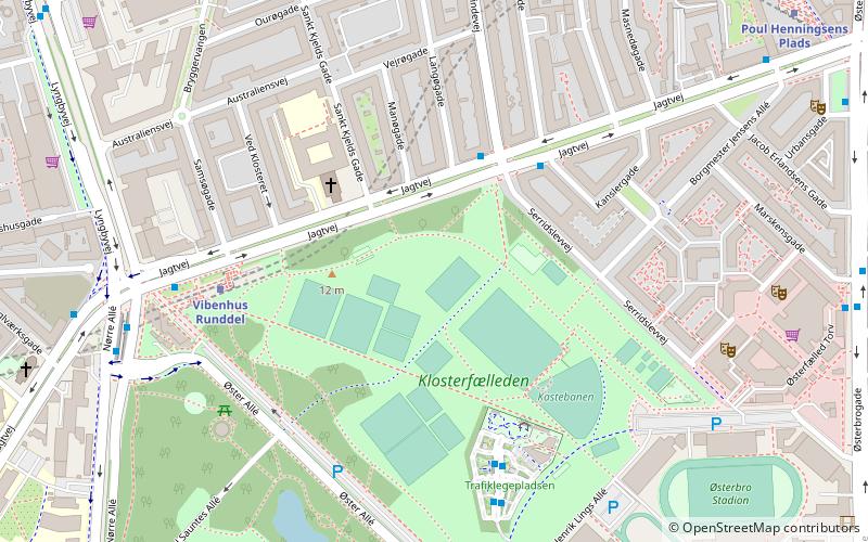
Nearby attractions include St. Augustine's Church, Copenhagen (3 min walk), Krudttønden, Copenhagen (6 min walk), Vibenshus Runddel, Copenhagen (6 min walk), Østerfælled Barracks, Copenhagen (7 min walk).
How to get to Østerbro by public transport?
The nearest stations to Østerbro:
Bus
Metro
Light rail
Train
Bus
- Serridslevvej • Lines: 14 (3 min walk)
- Vibenshus Runddel St. • Lines: 14 (7 min walk)
Metro
- Vibenhus Runddel • Lines: M3 (5 min walk)
- Poul Henningsens Plads • Lines: M3 (9 min walk)
Light rail
- Ryparken • Lines: B, Bx, F (19 min walk)
- Svanemøllen • Lines: A, B, Bx, C, E (19 min walk)
Train
- Østerport (31 min walk)
 Metro
Metro


