Bispebjerg, Copenhagen
Map

Map

Facts and practical information
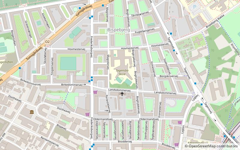
Bispebjerg, more commonly referred to as Nordvest, is one of the 10 official districts of Copenhagen, Denmark. Located on the northern border of the municipality, it covers an area of 5.39 km² and a population of 40,033. More specifically, Bispebjerg refers to a smaller neighbourhood within the district, located on the Bispebjerg Hill from which it takes its name. ()
Address
Bispebjergs (Hovmestervejs)Copenhagen
ContactAdd
Social media
Add
Day trips
Bispebjerg – popular in the area (distance from the attraction)
Nearby attractions include: Grundtvigs Kirke, Bellahøj, Stefanskirken, Zoologisk Museum.
Frequently Asked Questions (FAQ)
Which popular attractions are close to Bispebjerg?
Nearby attractions include Nordvest, Copenhagen (6 min walk), Rentemestervej, Copenhagen (7 min walk), Tagensvej, Copenhagen (10 min walk), Lersøparken, Copenhagen (10 min walk).
How to get to Bispebjerg by public transport?
The nearest stations to Bispebjerg:
Bus
Light rail
Metro
Bus
- Landsdommervej • Lines: 4A (3 min walk)
- Bispebjerg Hospital • Lines: 6A (5 min walk)
Light rail
- Bispebjerg • Lines: F (9 min walk)
- Emdrup • Lines: B, Bx (22 min walk)
Metro
- Nørrebro • Lines: M3 (17 min walk)
- Skjolds Plads • Lines: M3 (18 min walk)

 Metro
Metro


