Søtorvet, Copenhagen
Map

Gallery

Facts and practical information
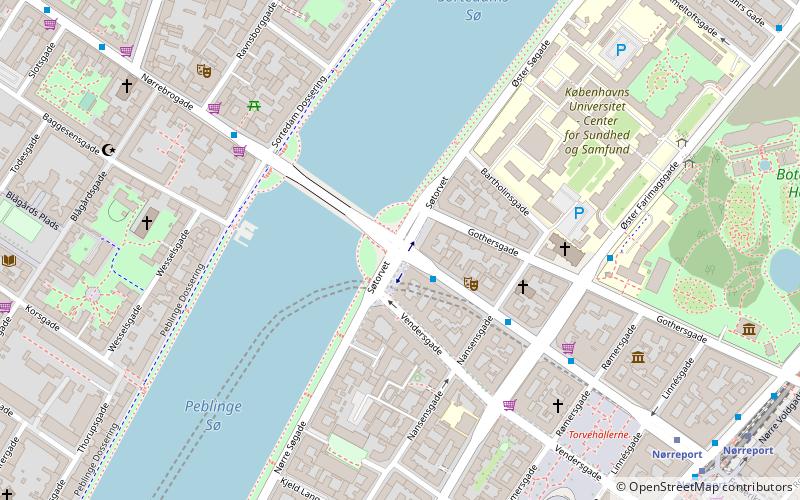
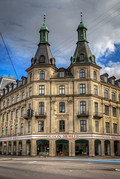
Søtorvet is an elegant late 19th century residential development facing The Lakes in Copenhagen, Denmark. It flanks the end of Frederiksborggade, where it turns into the Queen Louise Bridge, at the intersection with Øster and Nørre Søgade. ()
Address
Indre By (Søtorvets)Copenhagen
ContactAdd
Social media
Add
Day trips
Søtorvet – popular in the area (distance from the attraction)
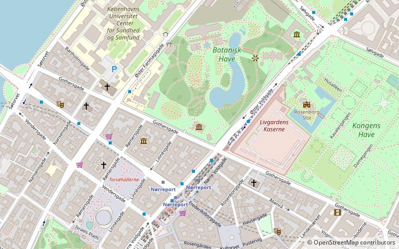
Nearby attractions include: Botanical Garden, Søpavillonen, Nørrebro Bryghus, The Lakes.
Frequently Asked Questions (FAQ)
Which popular attractions are close to Søtorvet?
Nearby attractions include Dronning Louises Bro, Copenhagen (1 min walk), Søgade, Copenhagen (2 min walk), Nansensgade, Copenhagen (4 min walk), St. Andrew's Church, Copenhagen (4 min walk).
How to get to Søtorvet by public transport?
The nearest stations to Søtorvet:
Bus
Metro
Light rail
Train
Ferry
Bus
- Søtorvet • Lines: 5C (1 min walk)
- Nørre Farimagsgade • Lines: 14, 350S, 5C (4 min walk)
Metro
- Nørreport • Lines: M1, M2 (7 min walk)
- Forum • Lines: M1, M2 (15 min walk)
Light rail
- Nørreport • Lines: A, B, Bx, C, E, H (8 min walk)
- Vesterport • Lines: A, B, Bx, C, E, H (18 min walk)
Train
- Nørreport (9 min walk)
- Copenhagen Central Station (25 min walk)
Ferry
- Det Kongelige Bibliotek • Lines: 991, 992 (29 min walk)
- Knippelsbro • Lines: 991, 992 (31 min walk)

 Metro
Metro


