Frederiksborggade, Copenhagen
Map

Map

Facts and practical information
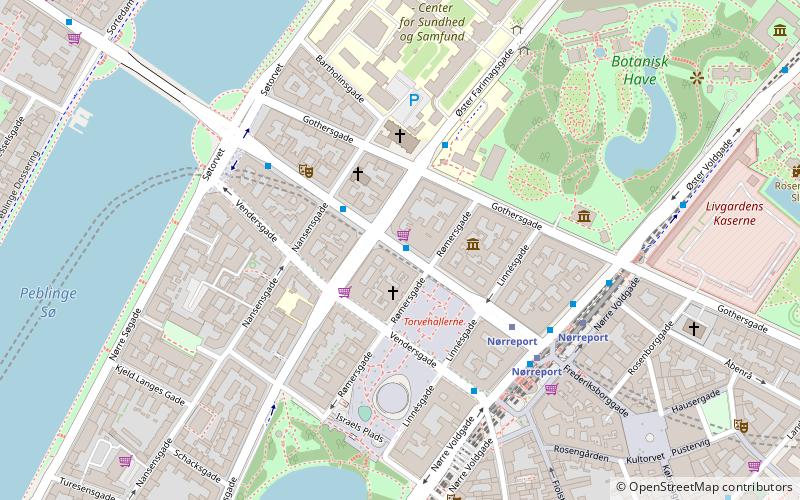
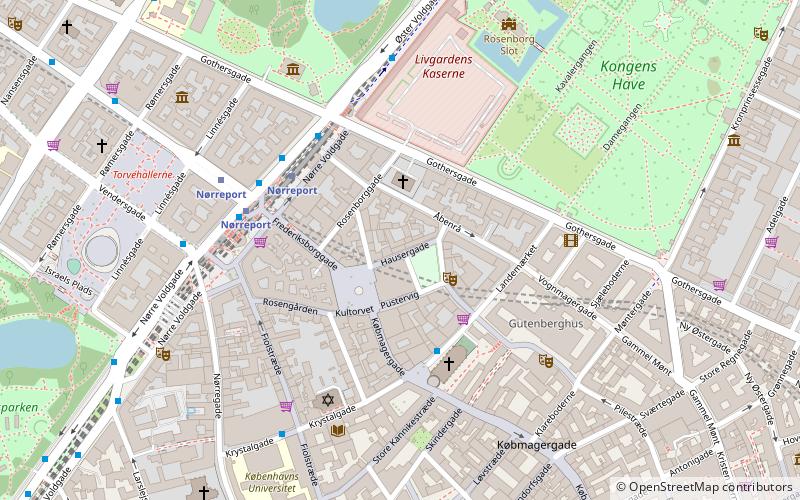
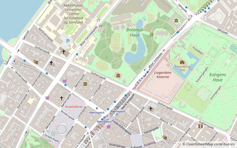
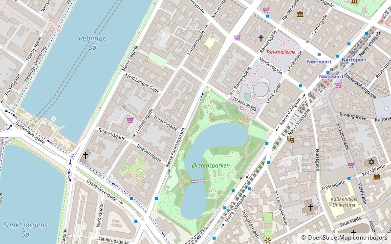
Frederiksborggade is a street in central Copenhagen, Denmark. It runs from Kultorvet square in the southeast to Søtorvet where Queen Louise's Bridge connects it to Nørrebrogade in Nørrebro on the other side of The Lakes. The street is effectively divided in two by Nørreport station on Nørre Voldgade. The short, southern portion, together with Kultorvet and Købmagergade, forms a pedestrian zone between the station and Strøget at Amagertorv. The wider and younger northern portion is open to car traffic. ()
Coordinates: 55°41'5"N, 12°34'8"E
Address
Indre By (Rømers)Copenhagen
ContactAdd
Social media
Add
Day trips
Frederiksborggade – popular in the area (distance from the attraction)
Nearby attractions include: Strøget, Botanical Garden, Hirschsprung Collection, Nørrebro Bryghus.
Frequently Asked Questions (FAQ)
Which popular attractions are close to Frederiksborggade?
Nearby attractions include Worker's Museum, Copenhagen (2 min walk), St. Andrew's Church, Copenhagen (3 min walk), Nansensgade, Copenhagen (3 min walk), Israels Plads, Copenhagen (4 min walk).
How to get to Frederiksborggade by public transport?
The nearest stations to Frederiksborggade:
Bus
Metro
Light rail
Train
Ferry
Bus
- Nørre Farimagsgade • Lines: 14, 350S, 5C (1 min walk)
- Gothersgade • Lines: 14 (3 min walk)
Metro
- Nørreport • Lines: M1, M2 (3 min walk)
- Rådhuspladsen • Lines: M3, M4 (15 min walk)
Light rail
- Nørreport • Lines: A, B, Bx, C, E, H (4 min walk)
- Vesterport • Lines: A, B, Bx, C, E, H (17 min walk)
Train
- Nørreport (5 min walk)
- Copenhagen Central Station (22 min walk)
Ferry
- Det Kongelige Bibliotek • Lines: 991, 992 (25 min walk)
- Knippelsbro • Lines: 991, 992 (26 min walk)

 Metro
Metro


