All Saints' Church, Copenhagen

Gallery (1)
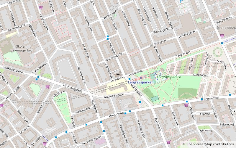
Map
Map
Facts and practical information
All Saints' Church is a church on Ungarnsgade in the Amager district of Copenhagen. ()
Local name: Allehelgens KirkeCoordinates: 55°39'45"N, 12°36'55"E
Getting there by public transportation
Public transportation stops near this location
- Metro
- Bus
- Ferry
 Metro
Metro
- Calculate routeLergravsparken 2 min walk
- Calculate routeAmagerbro 13 min walk
- Calculate routeØresund 14 min walk
- Calculate routeAmager Strand 20 min walk
- Calculate routeLergravsparken St. 4 min walk
- Calculate routeKastrupvej 4 min walk
- Calculate routeØresundsvej 5 min walk
- Calculate routeRumæniensgade 5 min walk
- Calculate routeKnippelsbro 35 min walk
- Calculate routeNyhavn 37 min walk
Maps Metro
Metro
MetroDay trips


Frequently Asked Questions (FAQ)
Which popular attractions are close to All Saints' Church?
Nearby attractions include Lergravsparken, Copenhagen (4 min walk), Øresundsvej, Copenhagen (5 min walk), Sundbyøster, Copenhagen (5 min walk), Frankrigsgade, Copenhagen (6 min walk).
How to get to All Saints' Church by public transport?
The nearest stations to All Saints' Church:
Metro
Bus
Ferry
Metro
- Lergravsparken • Lines: M2 (2 min walk)
- Amagerbro • Lines: M2 (13 min walk)
Bus
- Lergravsparken St. • Lines: 18, 77 (4 min walk)
- Kastrupvej • Lines: 77 (4 min walk)
Ferry
- Knippelsbro • Lines: 991, 992 (35 min walk)
- Nyhavn • Lines: 991, 992 (37 min walk)