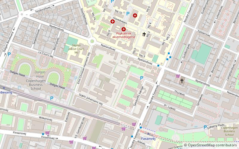
Kedelhallen, Copenhagen
Map

Map

Facts and practical information
Keddelhallen is a cultural and sports venue in the Frederiksberg district of Copenhagen, Denmark. The buildings were previously part of Frederiksberg Incineration Plant but were adapted for their current use in 2001. ()
Coordinates: 55°41'2"N, 12°31'17"E
Day trips
Kedelhallen – popular in the area (distance from the attraction)
Nearby attractions include: Frederiksberg Gardens, Cisternerne, Aksel Møllers Have, Revymuseet.
Frequently Asked Questions (FAQ)
Which popular attractions are close to Kedelhallen?
Nearby attractions include Nyelandsvej, Copenhagen (3 min walk), Godthaab Church, Copenhagen (5 min walk), Godthåbsvej, Copenhagen (9 min walk), Howitzvej, Copenhagen (9 min walk).
How to get to Kedelhallen by public transport?
The nearest stations to Kedelhallen:
Bus
Metro
Light rail
Bus
- Nyelandsvej • Lines: 4A (4 min walk)
- Fasanvej St. • Lines: 4A (5 min walk)
Metro
- Fasanvej • Lines: M1, M2 (5 min walk)
- Lindevang • Lines: M1, M2 (9 min walk)
Light rail
- Peter Bangs Vej • Lines: C (21 min walk)
- Flintholm • Lines: C, F, H (23 min walk)

 Metro
Metro


