Trek Zone

Barakkebroen, Copenhagen

#1133 among attractions in Copenhagen

Sailing, Marina
Barakkebroen

Facts and practical information

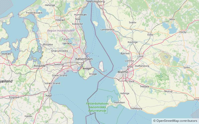
Barakkebroen is a place located in Copenhagen (Hovedstaden region) and belongs to the category of sailing, marina.

It is situated at an altitude of 0 feet, and its geographical coordinates are 55°40'1"N latitude and 12°44'30"E longitude.

Among other places and attractions worth visiting in the area are: Saltholm (island, 63 min walk), Flakfortet (forts and castles, 65 min walk), Amager Strandpark (park, 99 min walk).

Coordinates: 55°40'1"N, 12°44'30"E
Address

Copenhagen Denmark

ContactAdd
Social media
Add

Copenhagen plan & book

Unleash the traveler in you — discover the cheapest flight deals, find the perfect hotel or hostel nearby, and search for the best car rental prices. Travel at your own pace to discover new places and enjoy your journey.

Day trips

Barakkebroen – popular in the area (distance from the attraction)

Nearby attractions include: Den Blå Planet, Amager Strandpark, Flakfortet, Kastrupgård.

  • den bla planet copenhagen3.9 miSW
  • amager strandpark copenhagen3.9 miW
  • flakfortet copenhagen2.6 miN
  • kastrupgard copenhagen4.6 miSW
  • lergravsparken copenhagen4.8 miW
  • all saints church copenhagen4.9 miW
  • filips kirke copenhagen4.9 miW
  • simon peters church copenhagen4.8 miW
  • saltholm copenhagen2.5 miS
  • klovermarken copenhagen5 miW
  • kastrup strandpark copenhagen3.9 miSW

Where to next? Visit hovedstaden Hovedstaden region page or discover the top tourist attractions in Denmark.