Amager Strandpark, Copenhagen

Gallery (5)
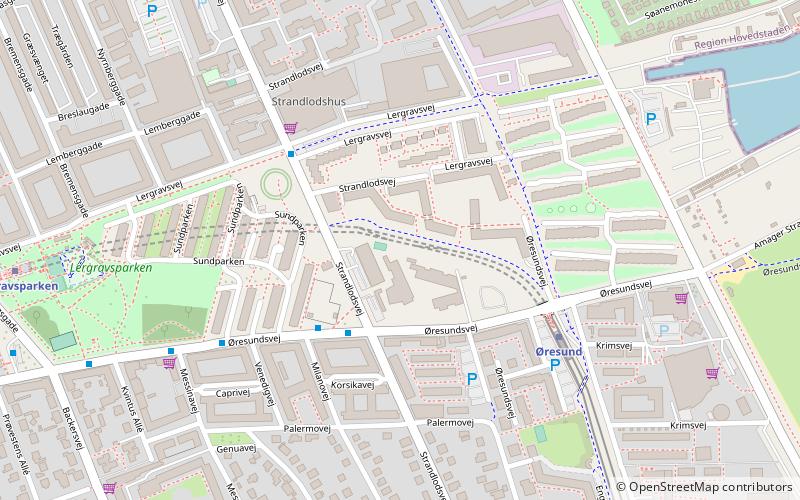
Map

Map

Gallery
Facts and practical information
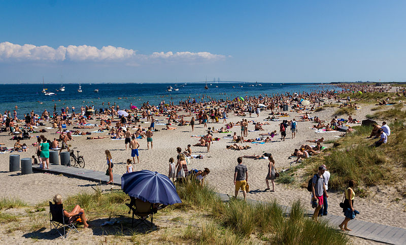
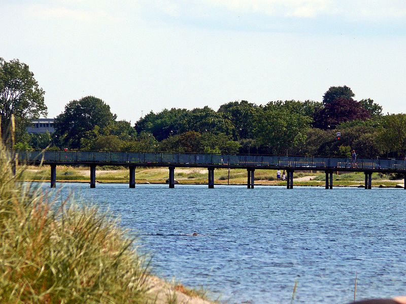
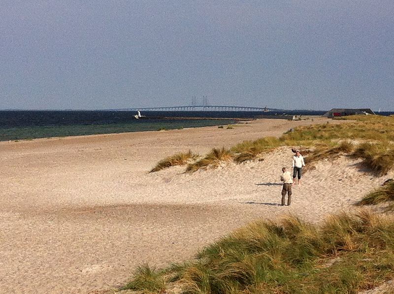
Amager Strandpark is a seaside public park in Copenhagen, Denmark. It is located on the island of Amager and includes an artificial island and offers a total of 4.6 km of beaches. From the beach, the Middelgrunden wind farm can be seen on the horizon. ()
Getting there by public transportation
Public transportation stops near this location
- Metro
- Bus
 Metro
Metro
- Calculate routeAmager Strand 12 min walk
- Calculate routeØresund 16 min walk
- Calculate routeFemøren 23 min walk
- Calculate routeLergravsparken 28 min walk
- Calculate routeEngvej 15 min walk
- Calculate routeWibrandtsvej 20 min walk
- Calculate routeStrandlodsvej 21 min walk
- Calculate routeFemøren St. 23 min walk
Maps Metro
Metro
MetroDay trips


Frequently Asked Questions (FAQ)
How to get to Amager Strandpark by public transport?
The nearest stations to Amager Strandpark:
Metro
Bus
Metro
- Amager Strand • Lines: M2 (12 min walk)
- Øresund • Lines: M2 (16 min walk)
Bus
- Engvej • Lines: 77 (15 min walk)
- Wibrandtsvej • Lines: 78 (20 min walk)