Amager Øst, Copenhagen
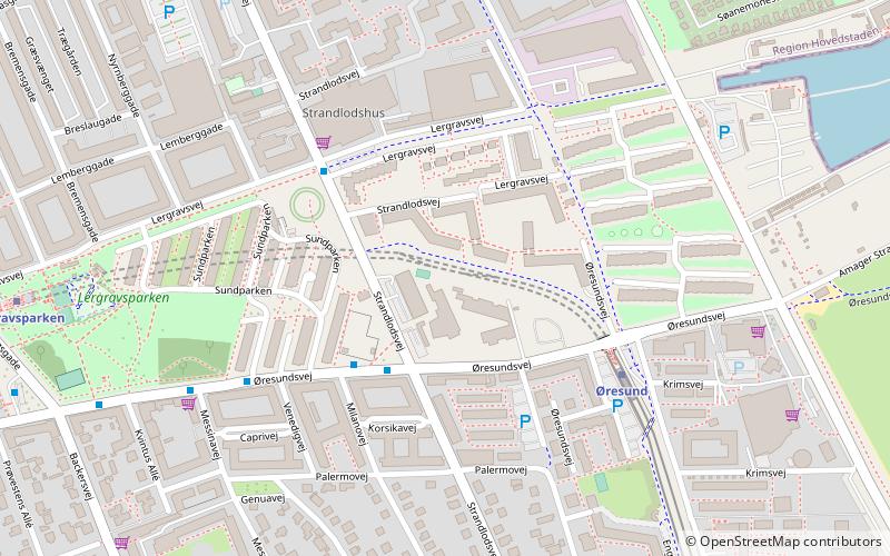
Map
Facts and practical information
Amager Øst is one of the 10 official districts of Copenhagen, Denmark. It encompasses the part of Copenhagen located on the island of Amager, east of the major shopping street Amagerbrogade.Prior to an administrative reform in 2006-08, the district was known as Sundbyøster. ()
Address
Amager Øst (Lindgreens)Copenhagen
ContactAdd
Social media
Add
Getting there by public transportation
Public transportation stops near this location
- Metro
- Bus
 Metro
Metro
- Calculate routeStrandlodsvej 3 min walk
- Calculate routeSundparken 5 min walk
- Calculate routeLergravsparken St. 9 min walk
- Calculate routeKastrupvej 11 min walk
- Calculate routeØresund 4 min walk
- Calculate routeLergravsparken 9 min walk
- Calculate routeAmager Strand 13 min walk
- Calculate routeAmagerbro 23 min walk
Maps Metro
Metro
MetroDay trips


Frequently Asked Questions (FAQ)
Which popular attractions are close to Amager Øst?
Nearby attractions include Øresundsvej, Copenhagen (6 min walk), Lergravsparken, Copenhagen (7 min walk), All Saints' Church, Copenhagen (10 min walk), Filips Kirke, Copenhagen (15 min walk).
How to get to Amager Øst by public transport?
The nearest stations to Amager Øst:
Bus
Metro
Bus
- Strandlodsvej • Lines: 77 (3 min walk)
- Sundparken • Lines: 77 (5 min walk)
Metro
- Øresund • Lines: M2 (4 min walk)
- Lergravsparken • Lines: M2 (9 min walk)