Havneholmen, Copenhagen
Map
Gallery
Facts and practical information
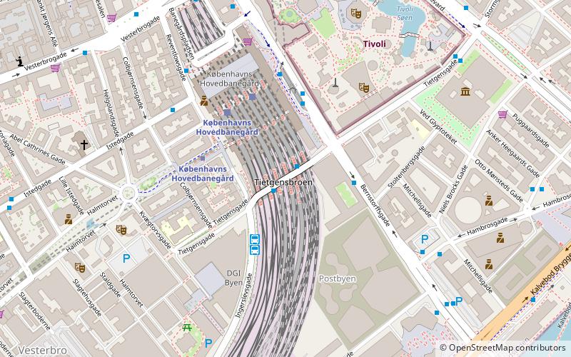
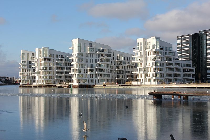
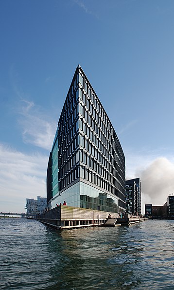
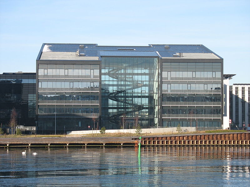
Havneholmen is a mixed-use development located on reclaimed land off Kalvebod Brygge in the harbor of Copenhagen, Denmark. It is located just east of the shopping centre Fisketorvet from which it is separated by a narrow canal, although it is annexed to mainland Kalvebod Brygge at its southern end. ()
Address
Vesterbro - Kongens Enghave (Fisketorvets)Copenhagen
ContactAdd
Social media
Add
Day trips
Havneholmen – popular in the area (distance from the attraction)
Nearby attractions include: Fisketorvet, DGI-byen, DieselHouse, Havneparken.
Frequently Asked Questions (FAQ)
Which popular attractions are close to Havneholmen?
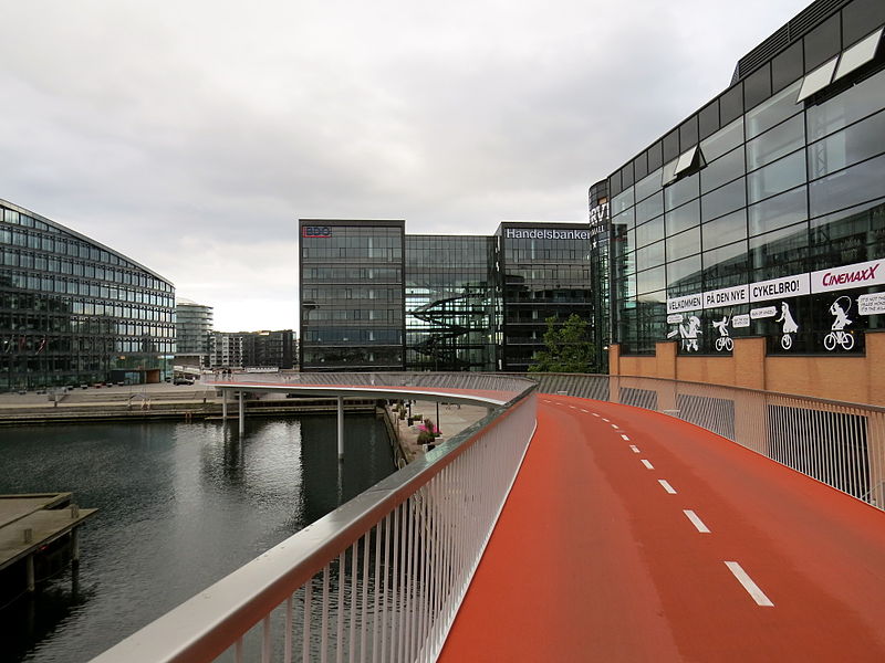
Nearby attractions include Bicycle Snake, Copenhagen (3 min walk), Bryggebroen, Copenhagen (3 min walk), Kalvebod Brygge, Copenhagen (8 min walk), DieselHouse, Copenhagen (12 min walk).
How to get to Havneholmen by public transport?
The nearest stations to Havneholmen:
Bus
Train
Ferry
Light rail
Metro
Bus
- Fisketorvet, Dybbølsbro • Lines: 7A (5 min walk)
- Otto Busses Vej • Lines: 7A (6 min walk)
Train
- Havneholmen (5 min walk)
- Enghave Brygge (14 min walk)
Ferry
- Bryggebroen • Lines: 991, 992 (6 min walk)
- Det Kongelige Bibliotek • Lines: 991, 992 (27 min walk)
Light rail
- Dybbølsbro • Lines: A, B, Bx, C, E, H (9 min walk)
- Copenhagen Central Station • Lines: A, B, Bx, C, E, H (20 min walk)
Metro
- Copenhagen Central Station • Lines: M3, M4 (19 min walk)
- Enghave Plads • Lines: M3 (20 min walk)



 Metro
Metro


