Frederikssundsvej, Copenhagen
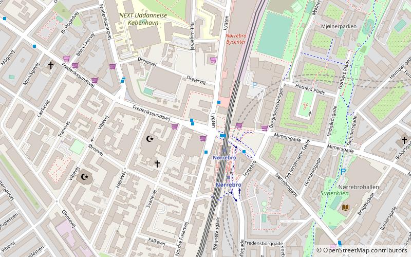
Map
Facts and practical information
Frederikssundsvej is a major artery in the North-West, Brønshøj and Husum districts of Copenhagen, Denmark. It begins at Nørrebro Station as the direct continuation of Nørrebrogade and changes its name to Herlev Hovedgade and then Skovlunde Byvej, Ballerup Byvej and Måløv Byvej before reaching the town of Frederikssund. ()
Address
Bispebjergs (Ørnevejs)Copenhagen
ContactAdd
Social media
Add
Getting there by public transportation
Public transportation stops near this location
- Metro
- Bus
- Light rail
 Metro
Metro
- Calculate routeNørrebro St. 1 min walk
- Calculate routeFrederikssundsvej 4 min walk
- Calculate routeNørrebro Bycenter 7 min walk
- Calculate routeNørrebrohallen 8 min walk
- Calculate routeNørrebro 3 min walk
- Calculate routeSkjolds Plads 13 min walk
- Calculate routeNuuks Plads 24 min walk
- Calculate routeBispebjerg 10 min walk
- Calculate routeRyparken 34 min walk
Maps Metro
Metro
MetroDay trips


Frequently Asked Questions (FAQ)
Which popular attractions are close to Frederikssundsvej?
Nearby attractions include Superkilen, Copenhagen (7 min walk), Mjølnerparken, Copenhagen (7 min walk), Heimdalsgade, Copenhagen (8 min walk), Bragesgade, Copenhagen (8 min walk).
How to get to Frederikssundsvej by public transport?
The nearest stations to Frederikssundsvej:
Bus
Metro
Light rail
Bus
- Nørrebro St. • Lines: 12, 250S, 4A, 5C (1 min walk)
- Frederikssundsvej • Lines: 4A (4 min walk)
Metro
- Nørrebro • Lines: M3 (3 min walk)
- Skjolds Plads • Lines: M3 (13 min walk)
Light rail
- Bispebjerg • Lines: F (10 min walk)
- Ryparken • Lines: B, Bx, F (34 min walk)