Enghave Brygge, Copenhagen
Map

Gallery

Facts and practical information
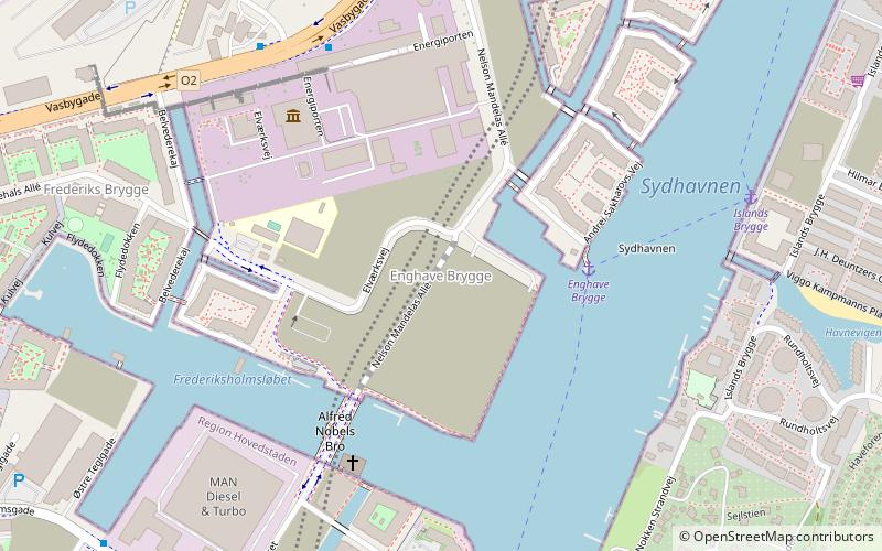
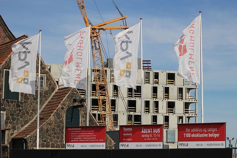
Enghave Brygge is a waterfront area in the Southern Docklands of Copenhagen, Denmark. It is located between Teglholmen to the south and Kalvebod Brygge to the north. Currently an abandoned industrial site, a plan for its redevelopment was adopted in July 2013. The most prominent landmark in the area is the H. C. Ørsted Power Station. ()
Coordinates: 55°39'18"N, 12°33'29"E
Address
Vesterbro - Kongens Enghave (Fisketorvets)Copenhagen
ContactAdd
Social media
Add
Day trips
Enghave Brygge – popular in the area (distance from the attraction)
Nearby attractions include: Fisketorvet, DGI-byen, DieselHouse, Kødbyen.
Frequently Asked Questions (FAQ)
Which popular attractions are close to Enghave Brygge?
Nearby attractions include DieselHouse, Copenhagen (5 min walk), Frederiks Brygge, Copenhagen (7 min walk), Bryggebroen, Copenhagen (15 min walk), Teglværksbroen, Copenhagen (15 min walk).
How to get to Enghave Brygge by public transport?
The nearest stations to Enghave Brygge:
Train
Bus
Ferry
Light rail
Metro
Train
- Enghave Brygge (2 min walk)
- Havneholmen (12 min walk)
Bus
- H. C. Ørsted Værket • Lines: 7A (6 min walk)
- Toldkammeret • Lines: 7A (7 min walk)
Ferry
- Teglholmen • Lines: 991, 992 (14 min walk)
- Bryggebroen • Lines: 991, 992 (17 min walk)
Light rail
- Dybbølsbro • Lines: A, B, Bx, C, E, H (19 min walk)
- Sydhavn • Lines: A, E (21 min walk)
Metro
- Enghave Plads • Lines: M3 (25 min walk)
- Copenhagen Central Station • Lines: M3, M4 (30 min walk)

 Metro
Metro


