Ryparken, Copenhagen
Map

Map

Facts and practical information
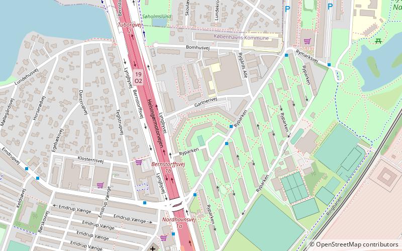
Ryparken is an area in the northern part of Østerbro, Copenhagen. Close to the ethnic and diverse neighborhood of Nørrebro, yet still in the 2100 Østerbro zip code, Ryparken defies easy definition. The area is well connected both by buses and by the S-train Ryparken station, formerly known as Lyngbyvej station until 1972. ()
Coordinates: 55°43'14"N, 12°33'28"E
Address
Bispebjergs (Ryparkens)Copenhagen
ContactAdd
Social media
Add
Day trips
Ryparken – popular in the area (distance from the attraction)
Nearby attractions include: Parken Stadium, Grundtvigs Kirke, Østerbrogade, Waterfront Shopping.
Frequently Asked Questions (FAQ)
Which popular attractions are close to Ryparken?
Nearby attractions include Ydre Østerbro, Copenhagen (5 min walk), Lake Emdrup, Copenhagen (9 min walk), Mindelunden, Copenhagen (13 min walk), Kildevældsparken, Copenhagen (14 min walk).
How to get to Ryparken by public transport?
The nearest stations to Ryparken:
Bus
Light rail
Metro
Bus
- Gartnerivej • Lines: 14 (2 min walk)
- Ryparken • Lines: 14 (2 min walk)
Light rail
- Ryparken • Lines: B, Bx, F (10 min walk)
- Emdrup • Lines: B, Bx (17 min walk)
Metro
- Vibenhus Runddel • Lines: M3 (26 min walk)
- Poul Henningsens Plads • Lines: M3 (27 min walk)

 Metro
Metro


