Hostrups Have, Copenhagen

Gallery (1)
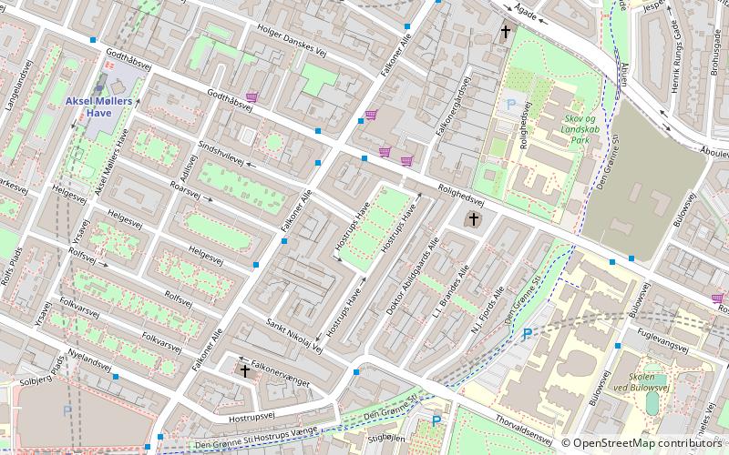
Map
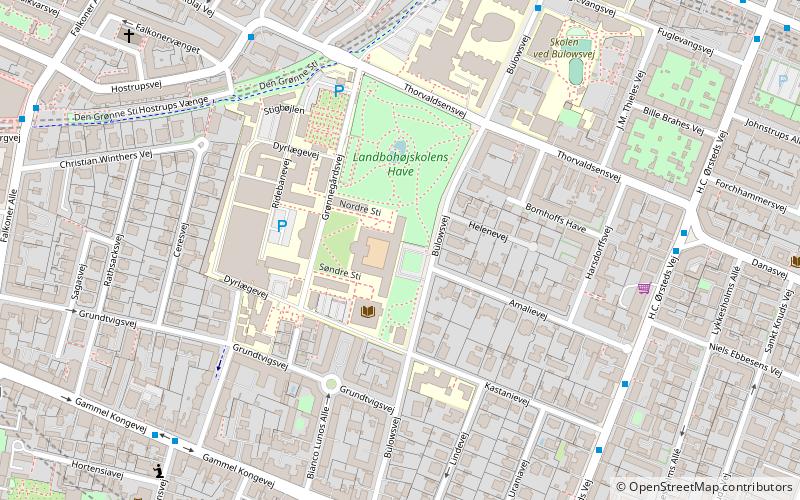
Map
Facts and practical information
Hostrups Have is a famous functionalist housing estate and associated green space located at the corner of Falkoner Allé and Rolighedsvej in the Frederiksberg district of Copenhagen, Denmark. Designed by Danish architect Hans Dahlerup Berthelsen in 1935–36. Hostrups Have is named after the playwright Jens Christian Hostrup. It has its own post code. ()
Coordinates: 55°41'3"N, 12°32'21"E
Address
FrederiksbergCopenhagen
ContactAdd
Social media
Add
Getting there by public transportation
Public transportation stops near this location
- Metro
- Bus
- Light rail
- Train
 Metro
Metro
- Calculate routeFalkoner Allé 3 min walk
- Calculate routeRolighedsvej 3 min walk
- Calculate routeHelgesvej 3 min walk
- Calculate routeDr. Abildgaards Allé 4 min walk
- Calculate routeAksel Møllers Have 7 min walk
- Calculate routeNuuks Plads 9 min walk
- Calculate routeFrederiksberg 10 min walk
- Calculate routeForum 14 min walk
- Calculate routeVesterport 28 min walk
- Calculate routeCopenhagen Central Station 33 min walk
- Calculate routeCopenhagen Central Station 34 min walk
Maps Metro
Metro
MetroDay trips


Frequently Asked Questions (FAQ)
Which popular attractions are close to Hostrups Have?
Nearby attractions include St Thomas' Church, Copenhagen (3 min walk), Rolighedsvej, Copenhagen (4 min walk), St. Luke's Church, Copenhagen (5 min walk), De Døves Kirke, Copenhagen (6 min walk).
How to get to Hostrups Have by public transport?
The nearest stations to Hostrups Have:
Bus
Metro
Light rail
Train
Bus
- Falkoner Allé • Lines: 2A (3 min walk)
- Rolighedsvej • Lines: 18 (3 min walk)
Metro
- Aksel Møllers Have • Lines: M3 (7 min walk)
- Nuuks Plads • Lines: M3 (9 min walk)
Light rail
- Vesterport • Lines: A, B, Bx, C, E, H (28 min walk)
- Copenhagen Central Station • Lines: A, B, Bx, C, E, H (33 min walk)
Train
- Copenhagen Central Station (34 min walk)