Frederiks Brygge, Copenhagen
Map
Facts and practical information
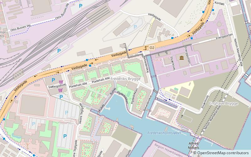
Frederiks Brygge is a waterfront area in the Southern Docklands of Copenhagen, Denmark. It is located at the bottom of Frederiksholmsløbet, a canal that separates Enghave Brygge to the north from Teglholmen to the south. ()
Coordinates: 55°39'21"N, 12°33'5"E
Address
Vesterbro - Kongens Enghave (Sydhavnens)Copenhagen
ContactAdd
Social media
Add
Getting there by public transportation
Public transportation stops near this location
- Metro
- Bus
- Light rail
- Train
- Ferry
 Metro
Metro
- Calculate routeFrederiks Brygge 3 min walk
- Calculate routeH. C. Ørsted Værket 5 min walk
- Calculate routeTeglholm Allé 7 min walk
- Calculate routeToldkammeret 8 min walk
- Calculate routeEnghave Brygge 7 min walk
- Calculate routeHavneholmen 13 min walk
- Calculate routeSluseholmen 19 min walk
- Calculate routeMozarts Plads 21 min walk
- Calculate routeSydhavn 14 min walk
- Calculate routeDybbølsbro 19 min walk
- Calculate routeCarlsberg 21 min walk
- Calculate routeSjælør 26 min walk
- Calculate routeTeglholmen 15 min walk
- Calculate routeBryggebroen 21 min walk
- Calculate routeDet Kongelige Bibliotek 42 min walk
- Calculate routeEnghave Plads 21 min walk
- Calculate routeCopenhagen Central Station 31 min walk
Maps Metro
Metro
MetroDay trips


Frequently Asked Questions (FAQ)
Which popular attractions are close to Frederiks Brygge?
Nearby attractions include DieselHouse, Copenhagen (5 min walk), Enghave Brygge, Copenhagen (7 min walk), Enghavevej, Copenhagen (15 min walk), Teglværksbroen, Copenhagen (15 min walk).
How to get to Frederiks Brygge by public transport?
The nearest stations to Frederiks Brygge:
Bus
Train
Light rail
Ferry
Metro
Bus
- Frederiks Brygge • Lines: 7A (3 min walk)
- H. C. Ørsted Værket • Lines: 7A (5 min walk)
Train
- Enghave Brygge (7 min walk)
- Havneholmen (13 min walk)
Light rail
- Sydhavn • Lines: A, E (14 min walk)
- Dybbølsbro • Lines: A, B, Bx, C, E, H (19 min walk)
Ferry
- Teglholmen • Lines: 991, 992 (15 min walk)
- Bryggebroen • Lines: 991, 992 (21 min walk)
Metro
- Enghave Plads • Lines: M3 (21 min walk)
- Copenhagen Central Station • Lines: M3, M4 (31 min walk)