Anfoushi, Alexandria
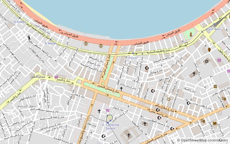
Map
Facts and practical information
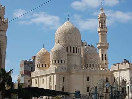
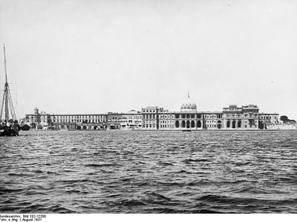
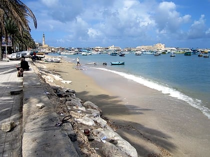
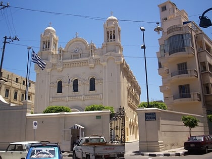
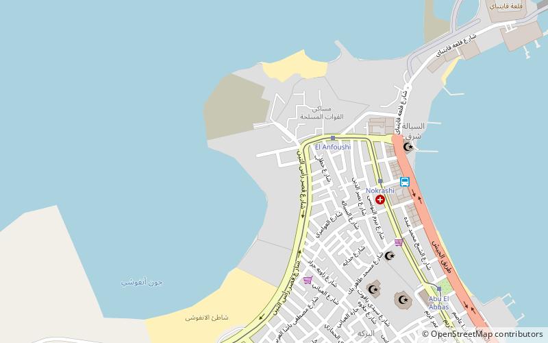
Anfoushi is a neighborhood in Alexandria, Egypt. It is considered one of the oldest neighborhoods in the city and is home to many old landmarks, including the famous Abu el-Abbas el-Mursi Mosque. ()
Coordinates: 31°12'33"N, 29°52'42"E
Address
Alexandria
ContactAdd
Social media
Add
Day trips
Anfoushi – popular in the area (distance from the attraction)
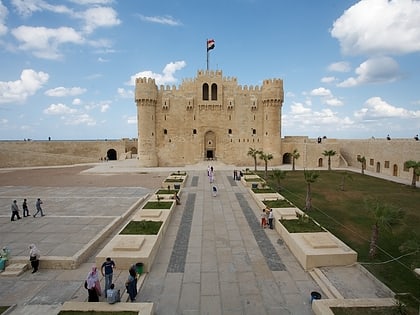
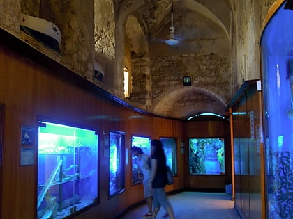
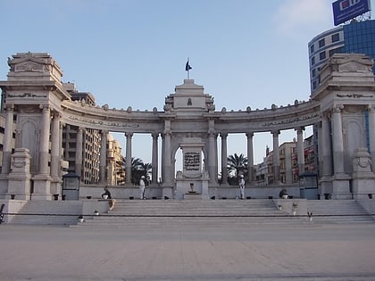
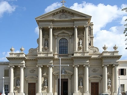
Nearby attractions include: Citadel of Qaitbay, Abu al-Abbas al-Mursi Mosque, Alexandria Aquarium, Greek Orthodox Church of Alexandria.
Frequently Asked Questions (FAQ)
Which popular attractions are close to Anfoushi?
Nearby attractions include Alexandria Port, Alexandria (9 min walk), Abu al-Abbas al-Mursi Mosque, Alexandria (9 min walk), Alexandria Aquarium, Alexandria (13 min walk), Citadel of Qaitbay, Alexandria (14 min walk).
How to get to Anfoushi by public transport?
The nearest stations to Anfoushi:
Tram
Bus
Tram
- El Anfoushi (4 min walk)
- Nokrashi (6 min walk)
Bus
- Al-Anfushi Bus Station (7 min walk)
