Orchamps, Besançon
Map
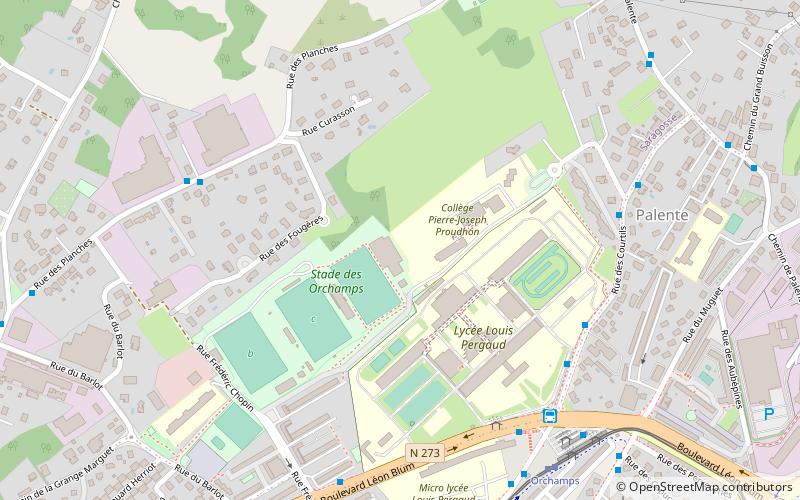
Map

Facts and practical information
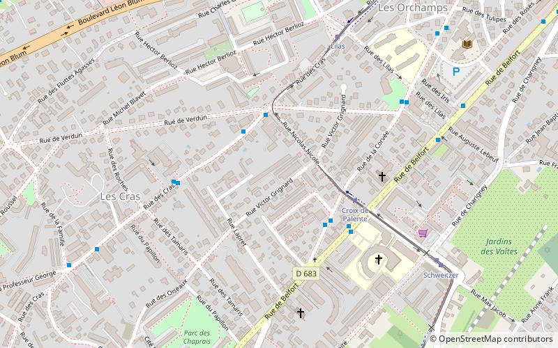
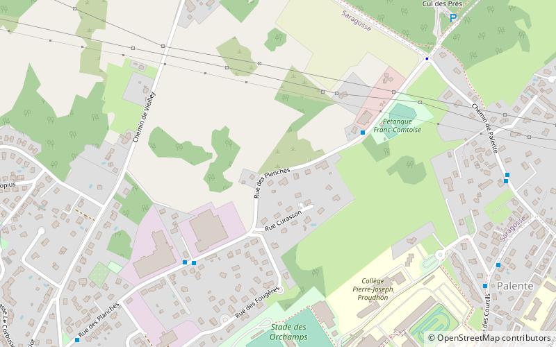
Orchamps is a neighbourhood in the south-east of the city of Besançon, France. Like nearby Clairs-Soleils and Planoise, to the west of the city, Orchamps was built in the late 1960s. It is situated close to Bregille. ()
Address
Palente - Orchamps - Saragosse (Saragosse)Besançon
ContactAdd
Social media
Add
Day trips
Orchamps – popular in the area (distance from the attraction)
Nearby attractions include: Jewish cemetery of Besançon, Clairs-Soleils, Église Saint-Martin des Chaprais, Château de la Juive.
Frequently Asked Questions (FAQ)
Which popular attractions are close to Orchamps?
Nearby attractions include Combe Saragosse, Besançon (6 min walk), Cras, Besançon (15 min walk), Jewish cemetery of Besançon, Besançon (20 min walk), Vaites, Besançon (23 min walk).
How to get to Orchamps by public transport?
The nearest stations to Orchamps:
Bus
Tram
Bus
- Courtils • Lines: 11, 7 (6 min walk)
- Lycée Louis Pergaud • Lines: 4, 7 (6 min walk)
Tram
- Orchamps • Lines: T1 (7 min walk)
- Lilas • Lines: T1 (10 min walk)


