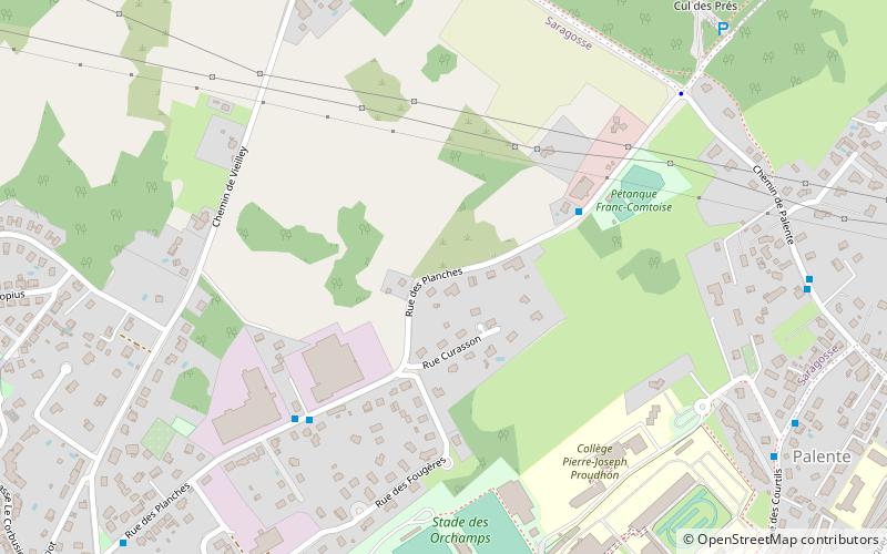
Combe Saragosse, Besançon
Map
Facts and practical information
Combe Saragosse is a district of Besançon, capital and principal city of the Franche-Comté region in eastern France. One of the last urban area of Besançon, Combe Saragosse, is located in the northeast of the city, bordering the Orchamps and Palente. ()
Address
Palente - Orchamps - Saragosse (Saragosse)Besançon
ContactAdd
Social media
Add
Getting there by public transportation
Public transportation stops near this location
- Bus
- Tram
 Bus
Bus
- Calculate routeCul des Prés 4 min walk
- Calculate routeChemin de Palente 9 min walk
- Calculate routeCollège Proudhon 9 min walk
- Calculate routeOrchamps 13 min walk
- Calculate routeLilas 15 min walk
- Calculate routeFort Benoît 18 min walk
- Calculate routeMarnières 21 min walk
Day trips


Frequently Asked Questions (FAQ)
Which popular attractions are close to Combe Saragosse?
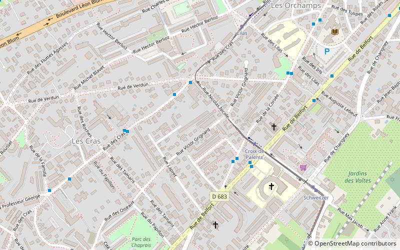
Nearby attractions include Orchamps, Besançon (6 min walk), Cras, Besançon (20 min walk).
How to get to Combe Saragosse by public transport?
The nearest stations to Combe Saragosse:
Bus
Tram
Bus
- Cul des Prés • Lines: 11 (4 min walk)
- Chemin de Palente • Lines: 11 (9 min walk)
Tram
- Orchamps • Lines: T1 (13 min walk)
- Lilas • Lines: T1 (15 min walk)