Zwischenahner Meer
Map

Map

Facts and practical information
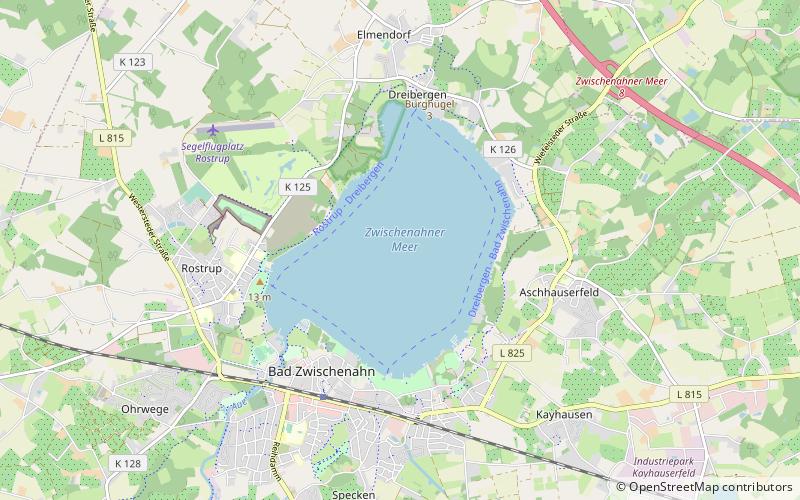
Zwischenahner Meer is a lake in Ammerland, Lower Saxony, Germany. It is at an elevation of approximately 5 meters, and has a surface area of 5.5 km2. The town of Bad Zwischenahn is located on the southern end of the lake, Rostrup on the western end, and Dreibergen on the northern end. It is the third largest lake in Lower Saxony. ()
Alternative names: Area: 2.12 mi²Maximum depth: 20 ftElevation: 10 ft a.s.l.Coordinates: 53°11'51"N, 8°1'1"E
Location
Lower Saxony
ContactAdd
Social media
Add
Day trips
Zwischenahner Meer – popular in the area (distance from the attraction)
Nearby attractions include: Golfclub am Meer, Zwischenahner Mühle, Swemmbad Wiefelstede, Rhododendronpark Gristede.


