Brunnendenkmal, Freiberg

Facts and practical information
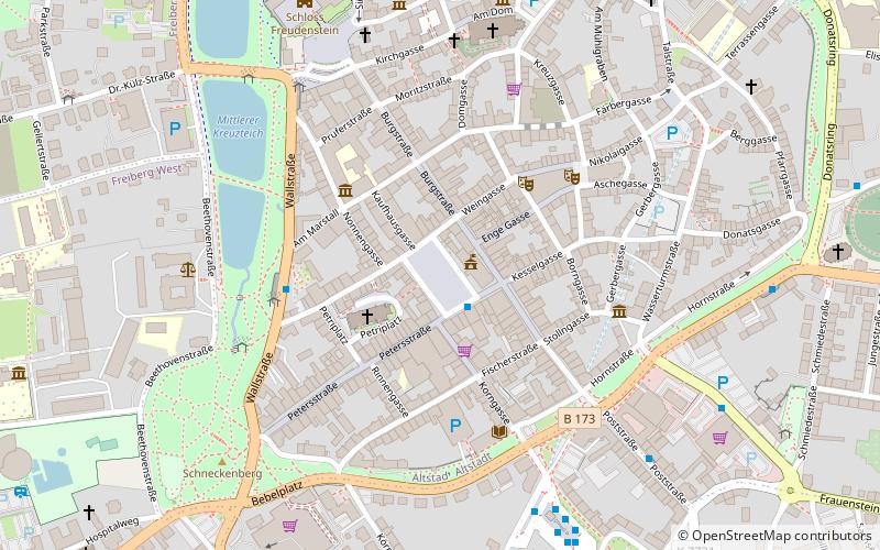
Brunnendenkmal is a place located in Freiberg (Saxony state) and belongs to the category of fountain.
It is situated at an altitude of 1339 feet, and its geographical coordinates are 50°55'2"N latitude and 13°20'34"E longitude.
Planning a visit to this place, one can easily and conveniently get there by public transportation. Brunnendenkmal is a short distance from the following public transport stations: Wallstr (bus, 4 min walk), Freiberg (train, 15 min walk).
Among other places and attractions worth visiting in the area are: Obermarkt (shopping, 1 min walk), Otto der Reiche (memorial, 1 min walk), Bodenwasserspiel (fountain, 1 min walk).
Freiberg
- Bus
- Train
 Bus
Bus
- Calculate routeWallstr 4 min walk
- Calculate routeBusbahnhof 6 min walk
- Calculate routeSchlossplatz 6 min walk
- Calculate routeFreiberg 15 min walk
Brunnendenkmal – popular in the area (distance from the attraction)
Nearby attractions include: Freiberg Cathedral, Schloss Freudenstein, St Peter's Church, Obermarkt.


Frequently Asked Questions (FAQ)
Which popular attractions are close to Brunnendenkmal?
How to get to Brunnendenkmal by public transport?
Bus
- Wallstr • Lines: 747, 749, B (4 min walk)
- Busbahnhof • Lines: A, B, C, D, F (6 min walk)
Train
- Freiberg (15 min walk)