Priesterbäker See, Müritz National Park
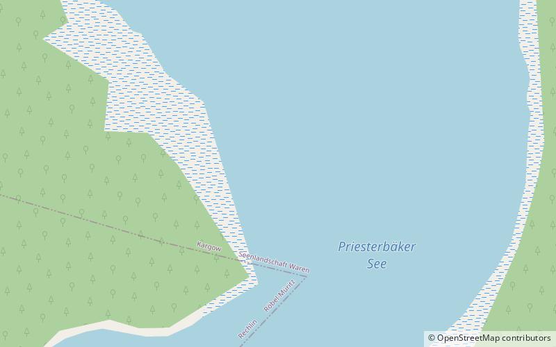
Map

Map

Facts and practical information
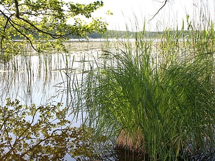
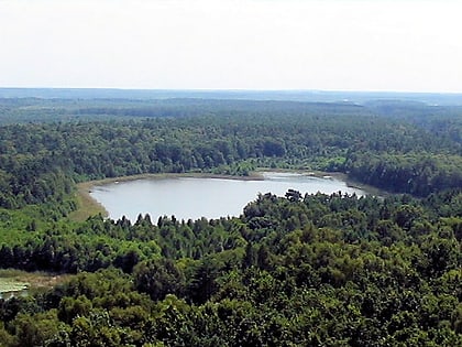
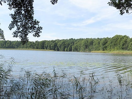
Priesterbäker See is a lake in Müritz National Park, Mecklenburg-Vorpommern, Germany. At an elevation of 62.6 m, its surface area is 1.53 km². ()
Alternative names: Area: 0.59 mi²Length: 7808 ftWidth: 3248 ftElevation: 194 ft a.s.l.Coordinates: 53°25'21"N, 12°50'25"E
Address
Müritz National Park
ContactAdd
Social media
Add
Day trips
Priesterbäker See – popular in the area (distance from the attraction)
Nearby attractions include: Großer Zillmannsee, Kleiner Zillmannsee, Hofsee, Käflingsbergturm.
Frequently Asked Questions (FAQ)
Which popular attractions are close to Priesterbäker See?
Nearby attractions include Hofsee, Müritz National Park (20 min walk), Käflingsbergturm, Müritz National Park (23 min walk).
How to get to Priesterbäker See by public transport?
The nearest stations to Priesterbäker See:
Bus
Bus
- Priesterbäker See • Lines: 9 (15 min walk)
- Am Käflingsberg • Lines: 9 (19 min walk)


