Quitschenberg, Harz National Park

Gallery (1)
Map
Map
Facts and practical information
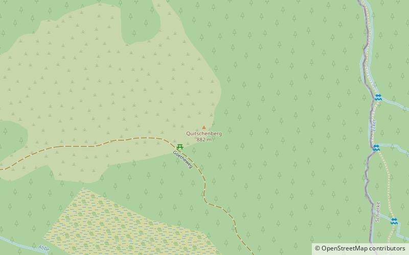
The Quitschenberg in the Upper Harz is a 881.5 m above sea level elevation on the highlands of the low mountain range Harz located near Torfhaus in the municipality-free area Harz of the district of Goslar in Lower Saxony.
Coordinates: 51°47'46"N, 10°34'40"E
Address
Harz National Park
ContactAdd
Social media
Add
Day trips


