Rhine Bridge, Worms

Gallery (2)
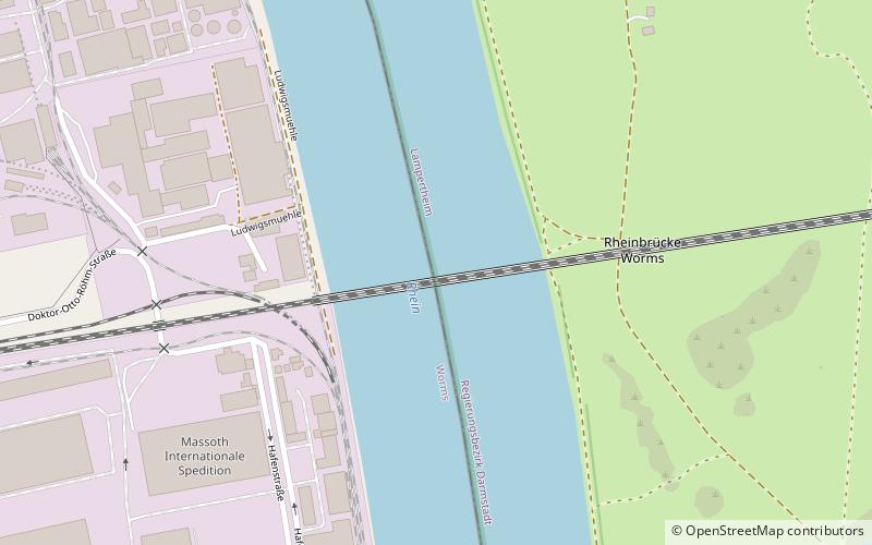
Map

Map
Gallery
Facts and practical information
The Worms Rhine Bridge is a two-track railway bridge that spans the Rhine river to the north of Worms, Germany, forming part of the Worms–Biblis railway. ()
Local name: Rheinbrücke Worms Opened: 30 November 1900 (125 years ago)Length: 3051 ftCoordinates: 49°39'2"N, 8°22'23"E
Address
Worms
ContactAdd
Social media
Add
Getting there by public transportation
Public transportation stops near this location
- Bus
- Train
 Bus
Bus
- Calculate routeRadgrubenweg 15 min walk
- Calculate routeDr. Otto Röhm Straße 15 min walk
- Calculate routeD. Otto Röhm Straße 15 min walk
- Calculate routeAm Gallborn 18 min walk
- Calculate routeWorms Hauptbahnhof 33 min walk
Day trips


Frequently Asked Questions (FAQ)
How to get to Rhine Bridge by public transport?
The nearest stations to Rhine Bridge:
Bus
Train
Bus
- Radgrubenweg • Lines: 406, 431, 432 (15 min walk)
- Dr. Otto Röhm Straße • Lines: 406, 431 (15 min walk)
Train
- Worms Hauptbahnhof (33 min walk)