Tiefer, Bremen
Facts and practical information
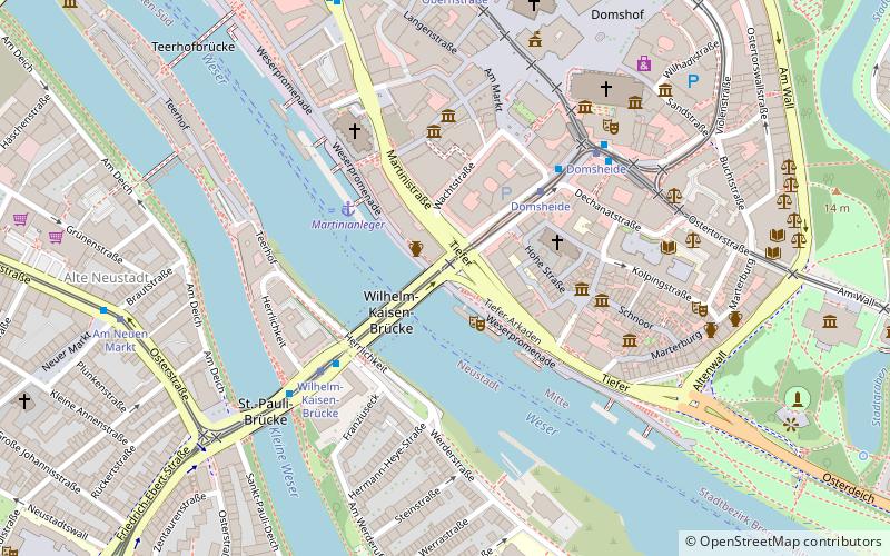
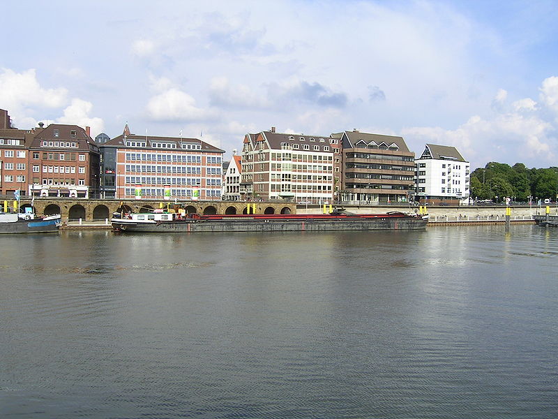
The Tiefer is an old street in Bremen, which runs in the old town on the Weser between the western Wilhelm-Kaisen-Brücke and the eastern Osterdeich. To the west it is joined by Martinistraße and to the east by the street Osterdeich.
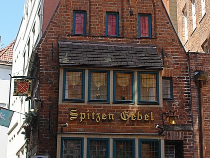
The cross streets were named as Stavenstraße and Stavendamm after Stave = Stube, because there were bathing rooms for the crew of the ships, Wüste Stätte probably around 1659 after the wüsten Stätte due to a fire in that year, Hinter der Holzpforte after the two Holtporten resp. Small Holtporten in the Bremen city wall and Marterburg after the Mattenborch, the delivery point for the Kornzins as mats = flour containers with about 60 pounds of content. They lead into the Gängeviertel Schnoor, today a well-visited old town quarter. To the northeast, the streets Altenwall and Am Wall adjoin.
Mitte (Altstadt)Bremen
Tiefer – popular in the area (distance from the attraction)
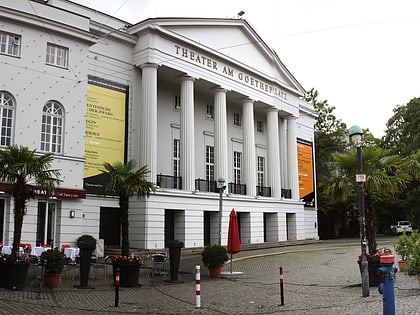
Nearby attractions include: Bremen Cathedral, Market, Die Glocke, St. John's Church.
Frequently Asked Questions (FAQ)
Which popular attractions are close to Tiefer?
How to get to Tiefer by public transport?
Tram
- Wilhelm-Kaisen-Brücke • Lines: 1, 4, 6, 8, N4 (4 min walk)
- Domsheide • Lines: 1, 2, 3, 4, 6, 8, N4 (5 min walk)
Bus
- Domsheide • Lines: 24, 25, N3, N5 (4 min walk)
- Am Neuen Markt • Lines: 24, N3 (7 min walk)
Train
- Bremen Hauptbahnhof (20 min walk)
- Bremen Neustadt (22 min walk)


