Riemer See, Munich
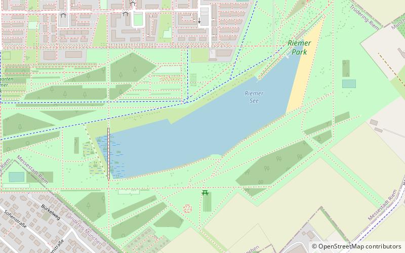
Map

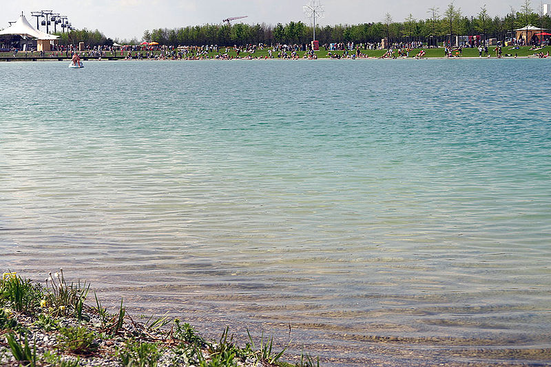
Gallery

Facts and practical information
Alternative names: Length: 2297 ftWidth: 492 ftMaximum depth: 59 ftElevation: 1742 ft a.s.l.Coordinates: 48°7'35"N, 11°42'21"E
Address
Astrid-Lindgren-Str. 127Trudering - Riem (Messestadt Riem)Munich 81829
Contact
Social media
Add
Day trips
Riemer See – popular in the area (distance from the attraction)
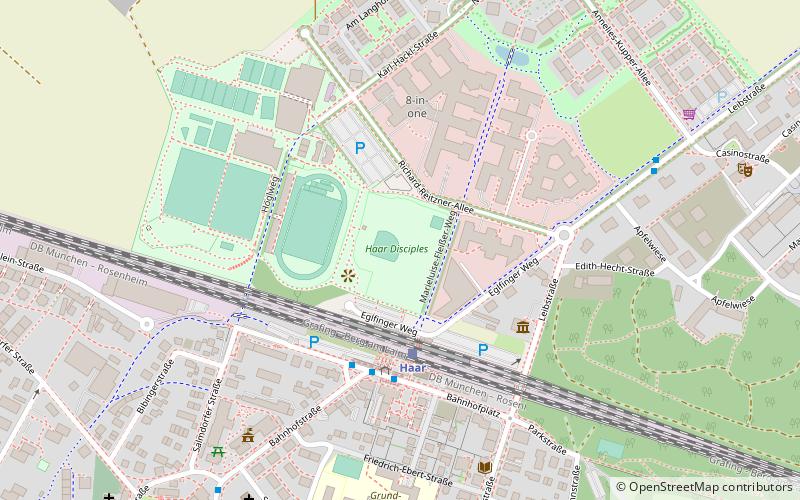
Nearby attractions include: Riem Arcaden, Staatliches Hofbräuhaus in München, Neue Messe München, Haar Disciples.
Frequently Asked Questions (FAQ)
How to get to Riemer See by public transport?
The nearest stations to Riemer See:
Bus
Metro
Train
Bus
- Selma-Lagerlöf-Straße • Lines: 190 (7 min walk)
- Mutter-Teresa-Straße • Lines: 190 (10 min walk)
Metro
- Messestadt Ost • Lines: U2 (13 min walk)
Train
- Gronsdorf (17 min walk)
- Haar (40 min walk)


