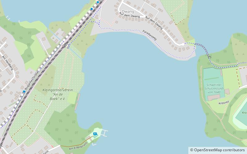
Ostorfer See, Schwerin
Map

Map

Facts and practical information
Ostorfer See is a lake in Nordwestmecklenburg, Mecklenburg-Vorpommern, Germany. At an elevation of 39.5 m, its surface area is 2.089 km². ()
Alternative names: Area: 0.37 mi²Maximum depth: 17 ftElevation: 125 ft a.s.l.Coordinates: 53°36'48"N, 11°23'39"E
Address
Schwerin
ContactAdd
Social media
Add
Day trips
Ostorfer See – popular in the area (distance from the attraction)
Nearby attractions include: Schwerin Castle, Staatliches Museum Schwerin, Burgsee, Schwerin Cathedral.
Frequently Asked Questions (FAQ)
Which popular attractions are close to Ostorfer See?
Nearby attractions include Grimkesee, Schwerin (15 min walk), Demmler Mausoleum, Schwerin (16 min walk), Stadtarchiv, Schwerin (21 min walk), Open-air theater, Schwerin (24 min walk).
How to get to Ostorfer See by public transport?
The nearest stations to Ostorfer See:
Bus
Train
Tram
Bus
- Marienhöhe • Lines: 5 (6 min walk)
- Am Heidberg • Lines: 5 (8 min walk)
Train
- Schwerin Görries (12 min walk)
- Schwerin Mitte (27 min walk)
Tram
- Platz der Jugend • Lines: 1, 2, 4 (22 min walk)
- Ostorf • Lines: 1, 2, 4 (23 min walk)


