Herrenhaus Panker, Panker

Gallery (1)
Map
Map
Facts and practical information
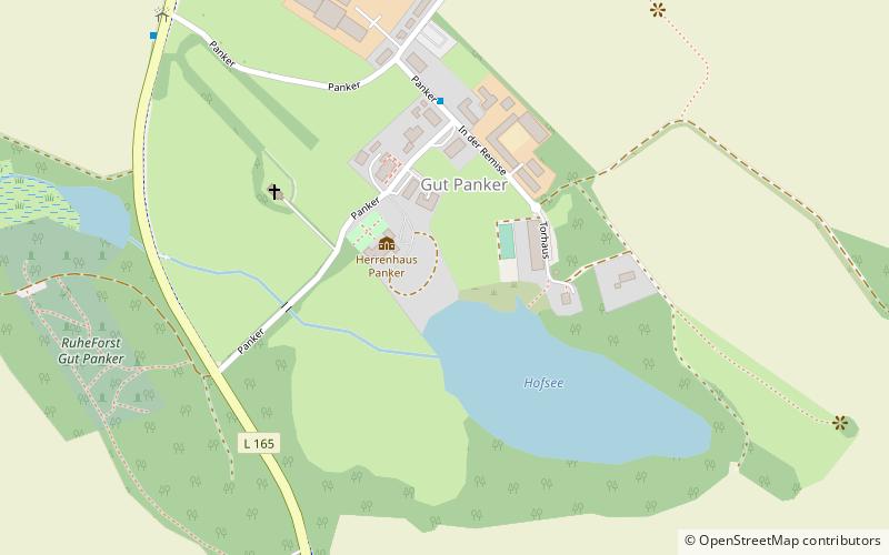
Herrenhaus Panker is a place located in Panker (Schleswig-Holstein state) and belongs to the category of sightseeing.
It is situated at an altitude of 177 feet, and its geographical coordinates are 54°19'43"N latitude and 10°34'22"E longitude.
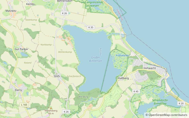
Among other places and attractions worth visiting in the area are: Eiszeitmuseum, Lütjenburg (specialty museum, 47 min walk), Großer Binnensee (nature, 56 min walk), Neuland Lighthouse (lighthouse, 64 min walk).
Coordinates: 54°19'43"N, 10°34'22"E
Address
Panker
ContactAdd
Social media
Add
Day trips