HafenCity, Hamburg
Map
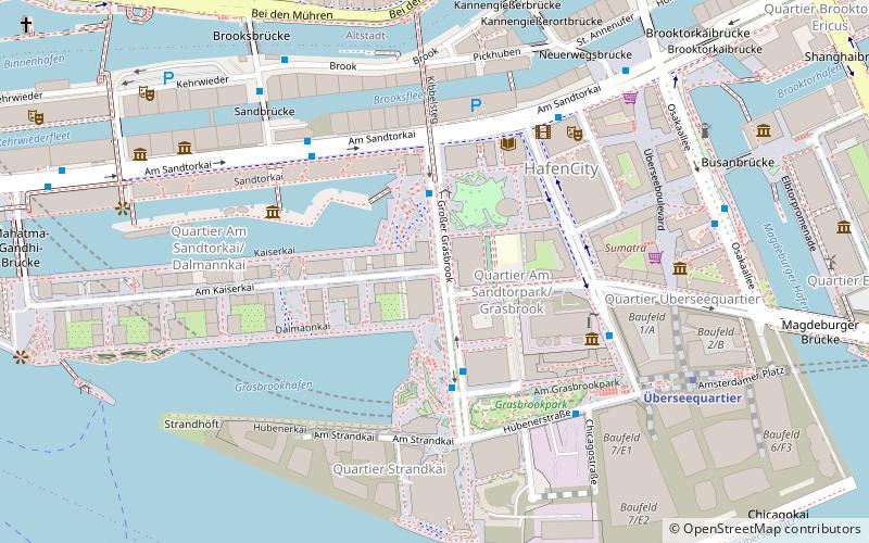
Map

Facts and practical information
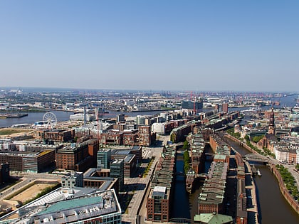
HafenCity is a quarter in the borough of Hamburg-Mitte, Hamburg, Germany, Europe. It is located on the Elbe river island Grasbrook, on the former Port of Hamburg area. It was formally established in 2008 and also includes the historical Speicherstadt area, which since 2015 is an UNESCO World Heritage Site with the adjacent Kontorhausviertel. The main landmark of the HafenCity is the Elbphilharmonie concert hall. ()
Day trips
HafenCity – popular in the area (distance from the attraction)
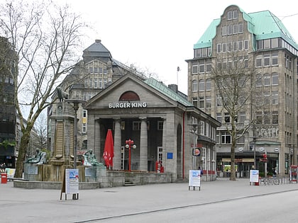
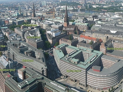
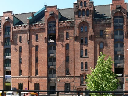
Nearby attractions include: Mönckebergstraße, Speicherstadt, Internationales Maritimes Museum Hamburg, St. Nicholas Church.
Frequently Asked Questions (FAQ)
Which popular attractions are close to HafenCity?
Nearby attractions include Meßmer Momentum, Hamburg (3 min walk), Afghan Museum, Hamburg (5 min walk), Marktplatz HafenCity, Hamburg (6 min walk), Hamburg Dungeon, Hamburg (6 min walk).
How to get to HafenCity by public transport?
The nearest stations to HafenCity:
Bus
Metro
Light rail
Ferry
Train
Bus
- Magellan-Terrassen • Lines: 111, 602 (2 min walk)
- Marco-Polo-Terrassen • Lines: 111, 602 (3 min walk)
Metro
- Überseequartier • Lines: U4 (6 min walk)
- Baumwall • Lines: U3 (13 min walk)
Light rail
- Stadthausbrücke • Lines: S1, S2, S3 (17 min walk)
- Jungfernstieg • Lines: S1, S2, S3 (19 min walk)
Ferry
- Jungfernstieg • Lines: Alsterkreuzfahrt (21 min walk)
- Argentinienbrücke • Lines: 73 (30 min walk)
Train
- Hamburg Central Station (25 min walk)
