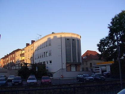
Synagoge Paderborn, Paderborn
Map
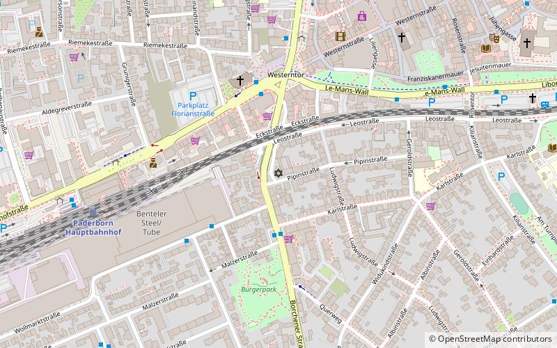
Map

Facts and practical information
The Jewish Community of Paderborn is a religious community in Paderborn that has existed since the Middle Ages. It is a member of the State Association of Jewish Communities of Westphalia-Lippe.
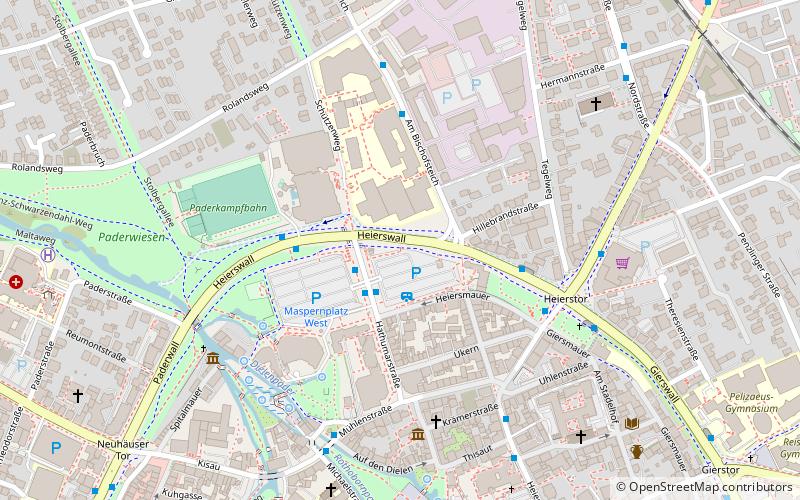
Coordinates: 51°42'49"N, 8°44'46"E
Day trips
Synagoge Paderborn – popular in the area (distance from the attraction)
Nearby attractions include: Paderborn Cathedral, Diözesanmuseum, Museum für Stadtgeschichte, Westfälische Kammerspiele.
Frequently Asked Questions (FAQ)
Which popular attractions are close to Synagoge Paderborn?
Nearby attractions include Church of the Sacred Heart, Paderborn (7 min walk), märzhase Galerie für junge Kunst, Paderborn (10 min walk), Paderborn Cathedral, Paderborn (11 min walk), Westfälische Kammerspiele, Paderborn (12 min walk).
How to get to Synagoge Paderborn by public transport?
The nearest stations to Synagoge Paderborn:
Bus
Train
Bus
- Mälzerstraße • Lines: 46, 7, N5 (3 min walk)
- Westerntor • Lines: 1, 11, 12, 2, 24, 28, 3, 4, 431, 432, 47, 471, 484, 486, 5, 6, 61, 68, 7, 8, 9, N1, N2, N3, N4, N5, N6, N7, N8, Ne15, Ne17, R10, R11, R41, R45, R50, R51, R82, R93, S30, S40, S60, S61, S85, S90, Uni (4 min walk)
Train
- Paderborn Hauptbahnhof (7 min walk)
- Paderborn Kasseler Tor (18 min walk)
