Tor der Hoffnung, Lübeck
Map
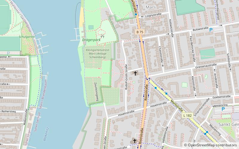
Map

Facts and practical information
The Gate of Hope is a listed residential complex with associated park in Lübeck. It is located in the district of St. Gertrud in the Marli district directly on the banks of the Wakenitz.
Elevation: 52 ft a.s.l.Coordinates: 53°52'6"N, 10°42'37"E
Address
Rudolf-Groth-Straße 22St. Gertrud (Marli - Brandenbaum)Lübeck
ContactAdd
Social media
Add
Day trips
Tor der Hoffnung – popular in the area (distance from the attraction)
Nearby attractions include: European Hansemuseum, Burgtor, Aegidienkirche, St. Anne's Museum Quarter.
Frequently Asked Questions (FAQ)
Which popular attractions are close to Tor der Hoffnung?
Nearby attractions include Zuneigung, Lübeck (13 min walk), Zentrifuge, Lübeck (14 min walk), Günter-Grass-Haus, Lübeck (21 min walk), St.-Philippus-Kirche, Lübeck (22 min walk).
How to get to Tor der Hoffnung by public transport?
The nearest stations to Tor der Hoffnung:
Bus
Ferry
Bus
- Gneisenaustraße • Lines: 11, 4 (4 min walk)
- Drägerpark • Lines: 11, 4 (6 min walk)
Ferry
- Hansefahrt • Lines: Hansefahrt (27 min walk)

