Rimburger Hof, Übach-Palenberg

Gallery (1)
Map
Map
Facts and practical information
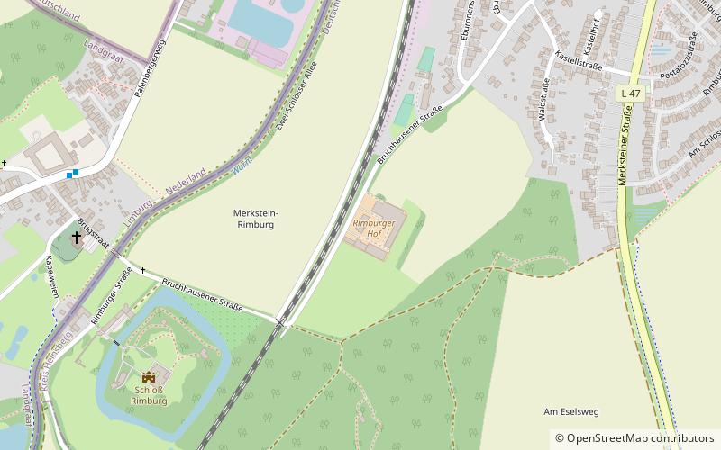
Rimburger Hof (address: 55 Bruchhausener Straße) is a place located in Übach-Palenberg (North Rhine-Westphalia state) and belongs to the category of sightseeing.
It is situated at an altitude of 302 feet, and its geographical coordinates are 50°54'58"N latitude and 6°5'40"E longitude.
Among other places and attractions worth visiting in the area are: Schloß Rimburg (forts and castles, 7 min walk), St. Petrus Kapelle (church, 17 min walk), Magnus Einkaufspark am Wasserturm (shopping, 25 min walk).
Coordinates: 50°54'58"N, 6°5'40"E
Day trips


