Cranzahl Dam, Ore Mountains/Vogtland Nature Park
Map

Map

Facts and practical information
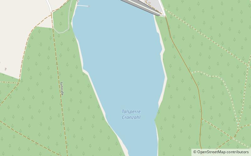
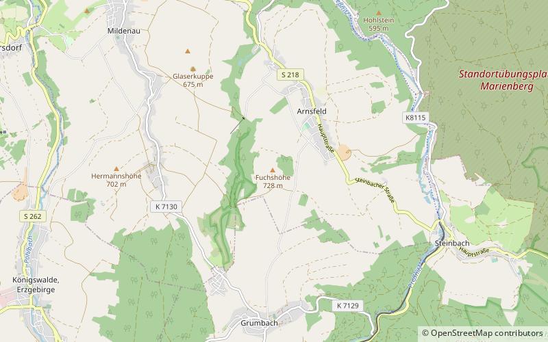
Cranzahl Dam is a dam in the Free State of Saxony in East Germany. It was built from 1949 to 1952 near Sehmatal–Cranzahl and the Bärenstein mountain in the Ore Mountains to supply drinking water to Annaberg-Buchholz and the surrounding area. Together with the Sosa Dam it was one of the two biggest dam construction projects of the newly created GDR. In keeping with the time it was called the Dam of Friendship. ()
Local name: Talsperre Cranzahl Length: 1404 ftHeight: 118 ftReservoir area: 86.49 acres (0.1351 mi²)Elevation: 2339 ft a.s.l.Coordinates: 50°30'5"N, 13°0'13"E
Address
Ore Mountains/Vogtland Nature Park
ContactAdd
Social media
Add
Day trips
Cranzahl Dam – popular in the area (distance from the attraction)
Nearby attractions include: Frohnauer Hammer, Fichtelberg, Erzgebirgsmuseum, St. Annenkirche.
Frequently Asked Questions (FAQ)
How to get to Cranzahl Dam by public transport?
The nearest stations to Cranzahl Dam:
Train
Bus
Train
- Cranzahl (22 min walk)
Bus
- Cranzahl, Bahnhof • Lines: 428 (24 min walk)
- Bärenstein, Turnhalle • Lines: 411 (28 min walk)


