Hardtanlage, Wuppertal
Map
Gallery
Facts and practical information
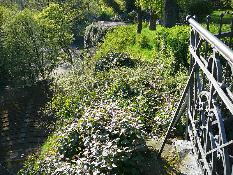
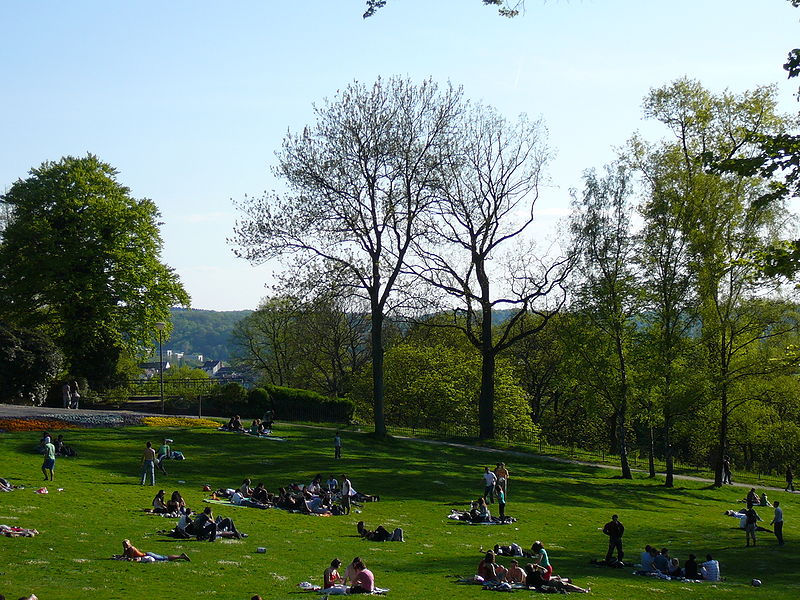
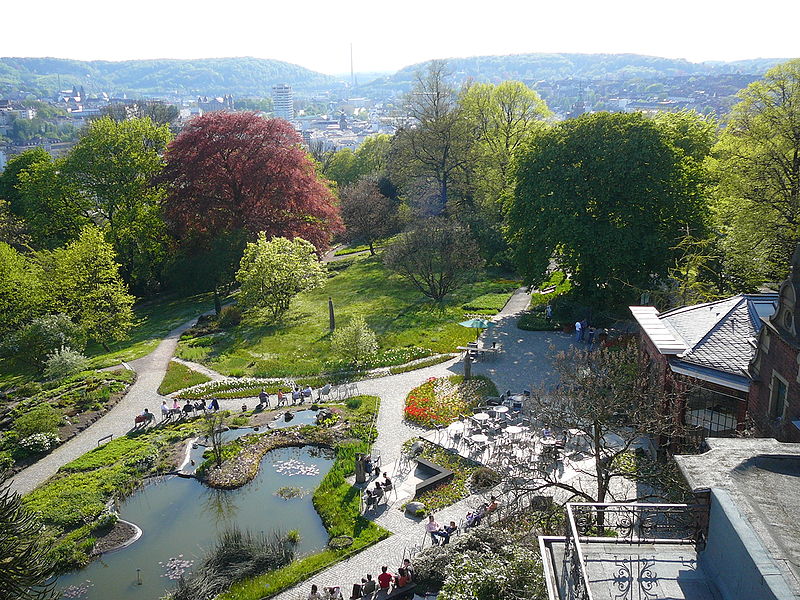
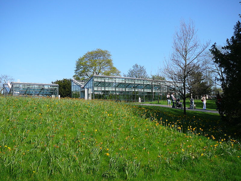
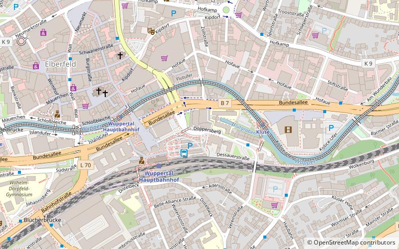
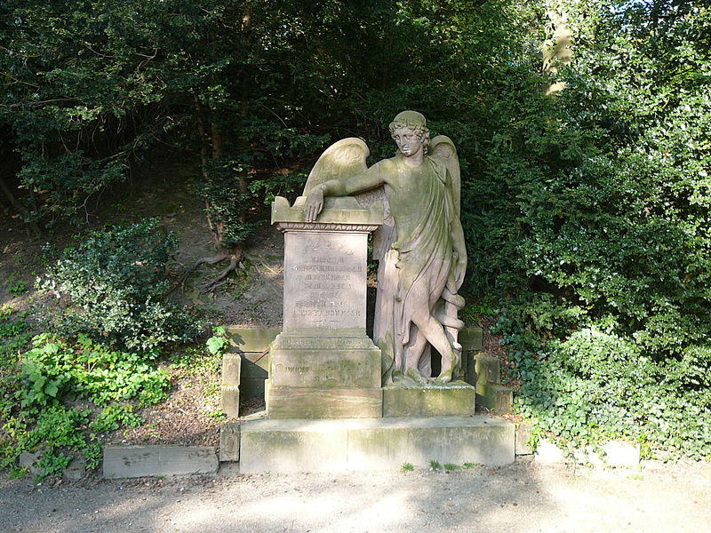
The Hardt-Anlagen, or usually abbreviated the Hardt, are a park on the partially forested elevation Hardtberg in the inner-city area of Wuppertal, on the border between the districts of Elberfeld and Barmen.
The Hardt facilities are one of the oldest city parks in Germany and part of the Road of Garden Art.
Elevation: 715 ft a.s.l.Coordinates: 51°15'42"N, 7°9'38"E
Address
Elberfeld (Ostersbaum)Wuppertal
ContactAdd
Social media
Add
Day trips
Hardtanlage – popular in the area (distance from the attraction)
Nearby attractions include: Botanischer Garten Wuppertal, Von der Heydt-Museum, Schauspielhaus Wuppertal, City-Arkaden.
Frequently Asked Questions (FAQ)
Which popular attractions are close to Hardtanlage?
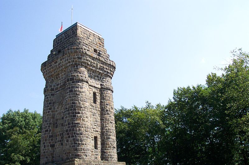
Nearby attractions include Elisenturm, Wuppertal (3 min walk), Botanischer Garten Wuppertal, Wuppertal (3 min walk), St. Marien Kirche, Wuppertal (7 min walk), Bismarckturm Wuppertal, Wuppertal (7 min walk).
How to get to Hardtanlage by public transport?
The nearest stations to Hardtanlage:
Bus
Train
Bus
- Reichsallee • Lines: 643 (2 min walk)
- Botanischer Garten • Lines: 643 (3 min walk)
Train
- Landgericht (7 min walk)
- Kluse (13 min walk)


