Dollberg, Hunsrück-Hochwald National Park

Gallery (1)
Map
Map
Facts and practical information
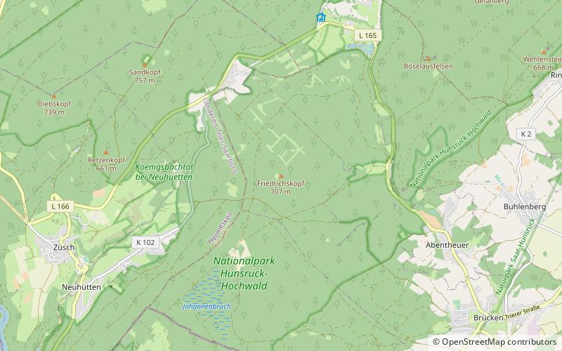
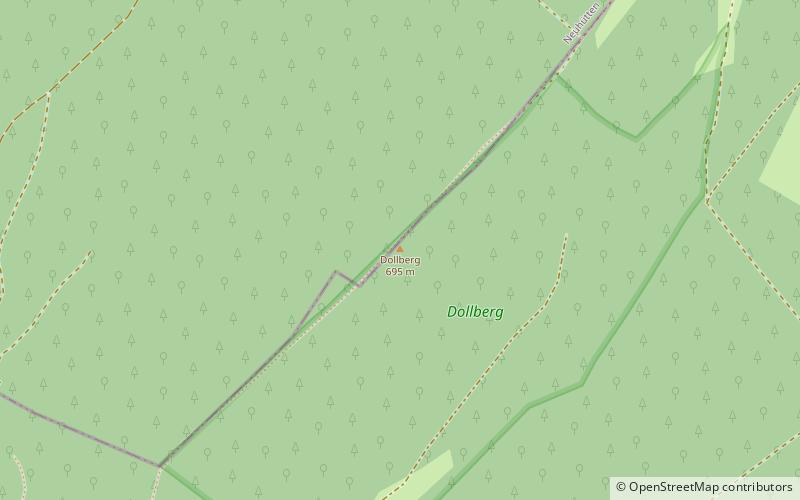
The Dollberg is a mountain in the Dollberge range in central Germany and the highest point in the state of Saarland. It is 695.4 m above sea level and lies within the Schwarzwälder Hochwald on the boundary between the counties of Trier-Saarburg and St. Wendel. ()
Day trips