Sachsenbrücke, Leipzig
Map

Map

Facts and practical information
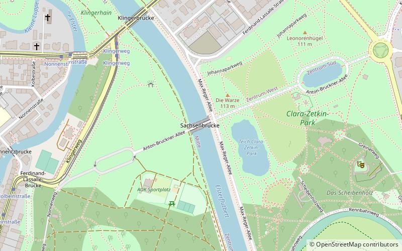
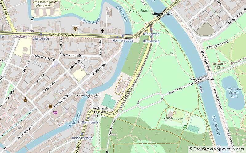
The Sachsenbrücke bridge over the Elster flood bed connects the eastern and western parts of Clara Zetkin Park in Leipzig. Located southwest of the city center, it also provides a car-free connection for pedestrians and cyclists from the center to western Leipzig along with Anton-Bruckner-Allee.
Coordinates: 51°19'49"N, 12°21'15"E
Address
Mitte (Zentrum-Süd)Leipzig
ContactAdd
Social media
Add
Day trips
Sachsenbrücke – popular in the area (distance from the attraction)
Nearby attractions include: St. Thomas Church, Arena Leipzig, New Town Hall, St. Peter's Church.
Frequently Asked Questions (FAQ)
Which popular attractions are close to Sachsenbrücke?
Nearby attractions include Museum für Druckkunst, Leipzig (12 min walk), Galerie für zeitgenössische Kunst, Leipzig (14 min walk), Luther Church, Leipzig (14 min walk), Richard-Wagner-Hain, Leipzig (14 min walk).
How to get to Sachsenbrücke by public transport?
The nearest stations to Sachsenbrücke:
Tram
Bus
Train
Tram
- Klingerweg • Lines: 1, 2, N17 (6 min walk)
- Nonnenstraße • Lines: 14 (8 min walk)
Bus
- Mozartstraße • Lines: 89 (14 min walk)
- Wächterstraße • Lines: 89 (14 min walk)
Train
- Leipzig Bayerischer Bahnhof (30 min walk)
- Leipzig Hauptbahnhof (41 min walk)


