Tangentiale Verbindung Ost, Berlin

Gallery (3)
Map
Map
Gallery
Facts and practical information
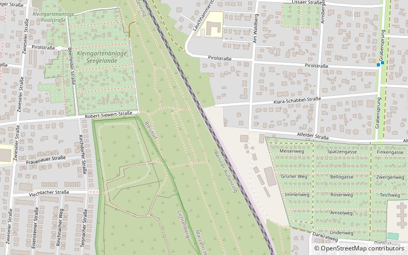
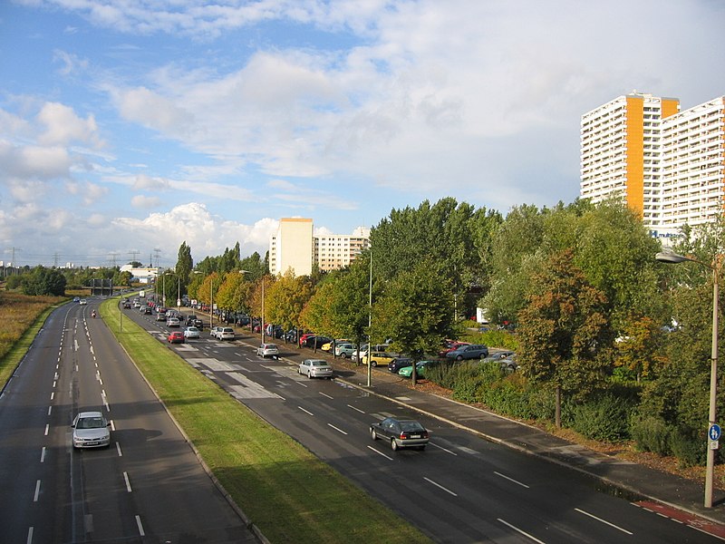
The East Tangential Link - in German Tangentiale Verbindung Ost - is a road project connecting the Eastern boroughs of Berlin, Germany. It was fully described in the Transport Master Plan for the GDR Capital in 1969 but it is unfinished to date. The original six lane expressway design has been cut back over time. ()
Getting there by public transportation
Public transportation stops near this location
- Metro
- Tram
 Metro
Metro
- Calculate routeU Biesdorf-Süd 12 min walk
- Calculate routeU Elsterwerdaer Platz 26 min walk
- Calculate routeU Tierpark 28 min walk
- Calculate routeTreskowallee/HTW 23 min walk
- Calculate routeMarksburgstraße 25 min walk
- Calculate routeU Tierpark 26 min walk
- Calculate routeCriegernweg 32 min walk
Maps Metro
Metro
MetroDay trips


Frequently Asked Questions (FAQ)
How to get to Tangentiale Verbindung Ost by public transport?
The nearest stations to Tangentiale Verbindung Ost:
Metro
Tram
Metro
- U Biesdorf-Süd • Lines: U5 (12 min walk)
- U Elsterwerdaer Platz • Lines: U5 (26 min walk)
Tram
- Treskowallee/HTW • Lines: 27, 37, M17 (23 min walk)
- Marksburgstraße • Lines: 27, 37, M17 (25 min walk)