Putinnen, Tangermünde

Facts and practical information
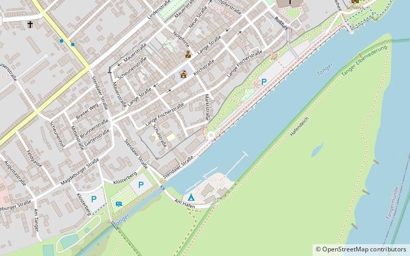
Putinnen is a place located in Tangermünde (Saxony-Anhalt state) and belongs to the category of historical place, city gate.
It is situated at an altitude of 128 feet, and its geographical coordinates are 52°32'22"N latitude and 11°58'18"E longitude.
Planning a visit to this place, one can easily and conveniently get there by public transportation. Putinnen is a short distance from the following public transport stations: Stendaler Straße (bus, 8 min walk), Tangermünde (train, 12 min walk).
Among other places and attractions worth visiting in the area are: Old Town Hall (architecture, 3 min walk), Turm ehem. St. Nicolai-Kirche (tower, 4 min walk), Steigberg (historical place, 5 min walk).
- Bus
- Train
 Bus
Bus
- Calculate routeStendaler Straße 8 min walk
- Calculate routeLindenstraße 9 min walk
- Calculate routeTangermünde 12 min walk
- Calculate routeTangermünde West 19 min walk
Putinnen – popular in the area (distance from the attraction)
Nearby attractions include: St Stephen's Church, Old Town Hall, Steigberg, Kaiser Karl IV.


Frequently Asked Questions (FAQ)
Which popular attractions are close to Putinnen?
How to get to Putinnen by public transport?
Bus
- Stendaler Straße • Lines: 900 (8 min walk)
- Lindenstraße • Lines: 900, 920 (9 min walk)
Train
- Tangermünde (12 min walk)
- Tangermünde West (19 min walk)