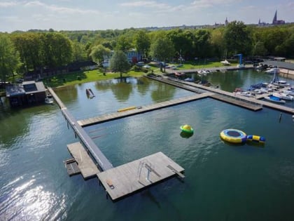
Fauler See, Schwerin
Map

Map

Facts and practical information
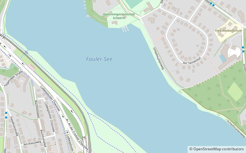
Alternative names: Area: 123.55 acres (0.1931 mi²)Maximum depth: 37 ftElevation: 131 ft a.s.l.Coordinates: 53°36'40"N, 11°25'38"E
Address
Schwerin
ContactAdd
Social media
Add
Day trips
Fauler See – popular in the area (distance from the attraction)
Nearby attractions include: Schwerin Castle, Staatliches Museum Schwerin, Burgsee, Schwerin Cathedral.
Frequently Asked Questions (FAQ)
Which popular attractions are close to Fauler See?
Nearby attractions include Große Karausche, Schwerin (14 min walk), Schleifmühle, Schwerin (15 min walk), Open-air theater, Schwerin (18 min walk), Schweriner Zoo, Schwerin (19 min walk).
How to get to Fauler See by public transport?
The nearest stations to Fauler See:
Bus
Tram
Train
Bus
- Am Tannenhof • Lines: 14 (9 min walk)
- Parkweg • Lines: 14 (9 min walk)
Tram
- Gartenstadt • Lines: 1, 2, 4 (9 min walk)
- Ostorf • Lines: 1, 2, 4 (13 min walk)
Train
- Schwerin Mitte (36 min walk)


